Bosporus Walk - Part 5
Romania to Istanbul
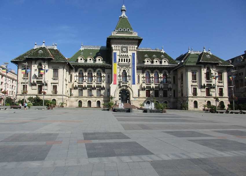
We are in Craiova, Southern Romania, heading for the Bulgarian border.
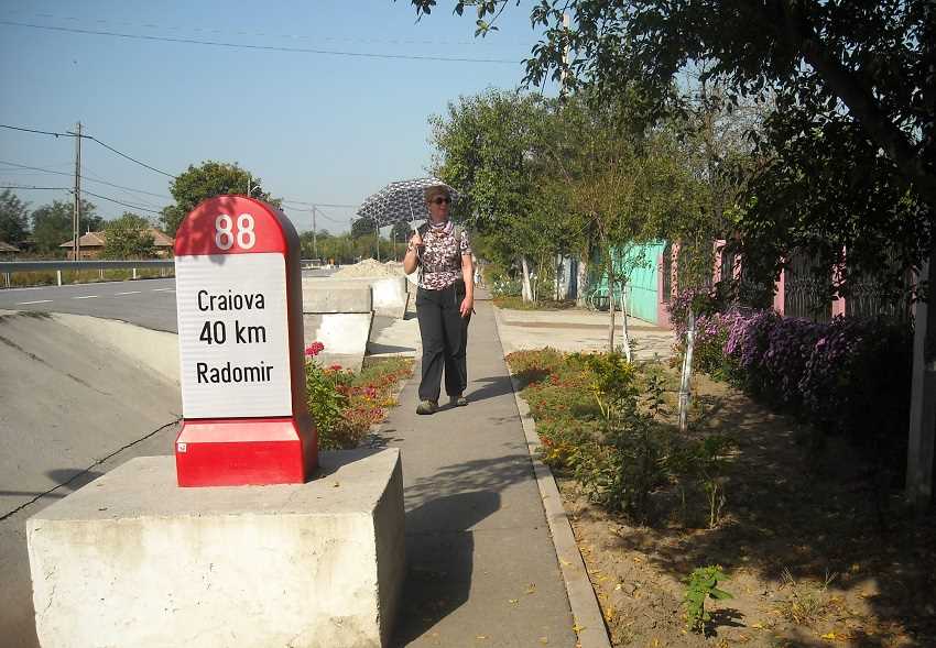
And it is mostly road walking around here.
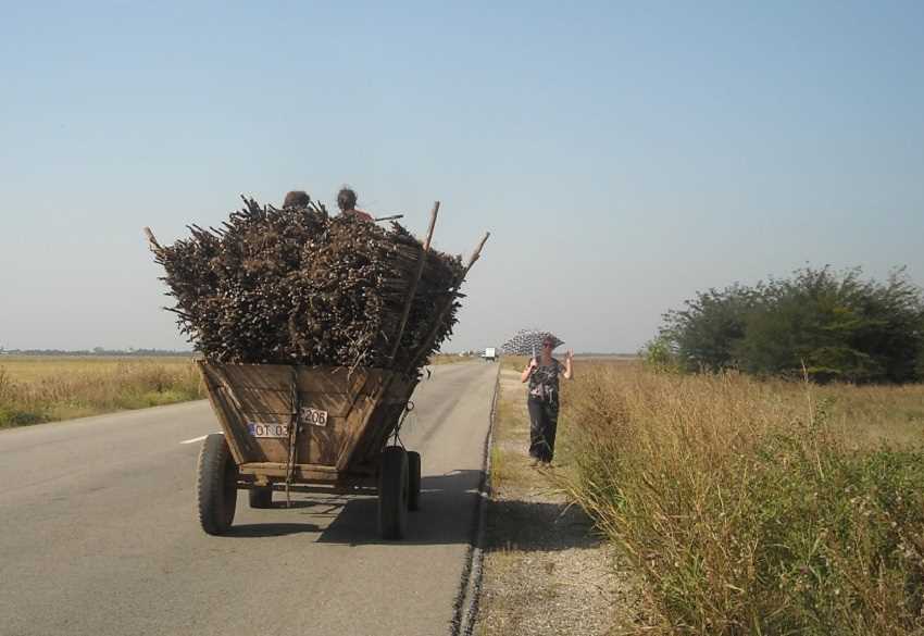
But Romanian roads are rarely dull.
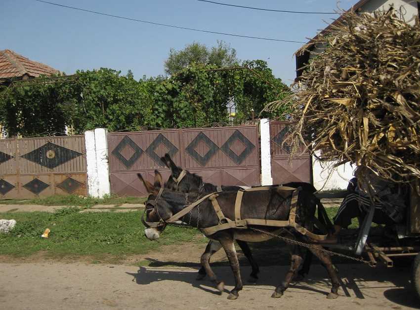
With plenty of donkeys at work at this time of year.
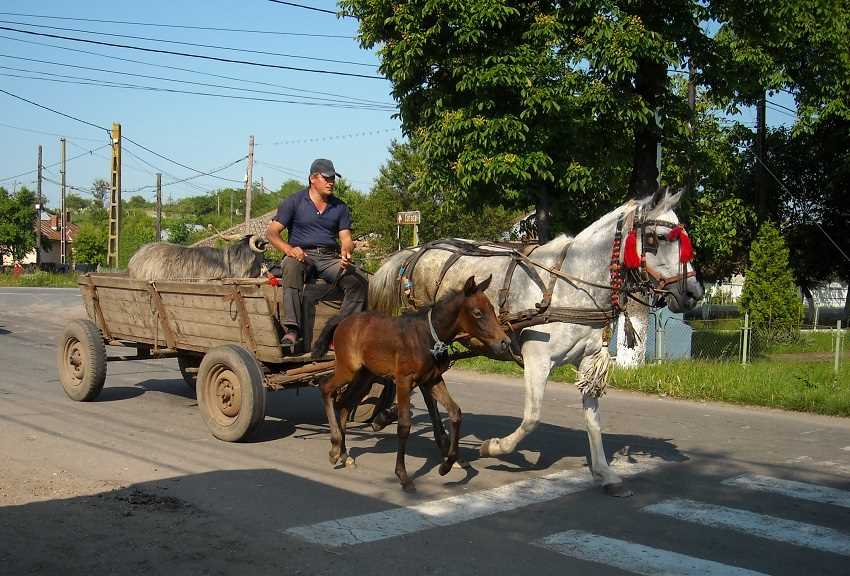
Here's a foal in training with a goat load.
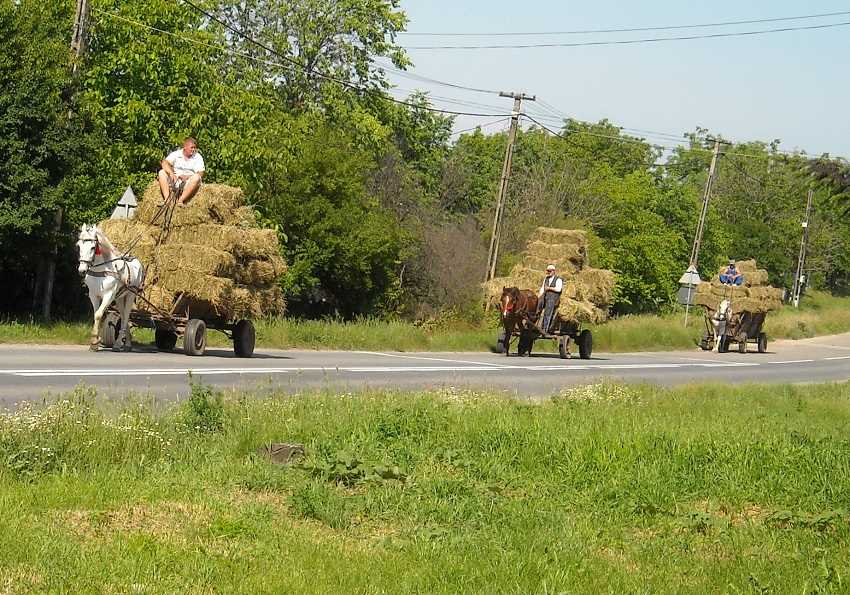
And how about this for an impressive line of horse power.
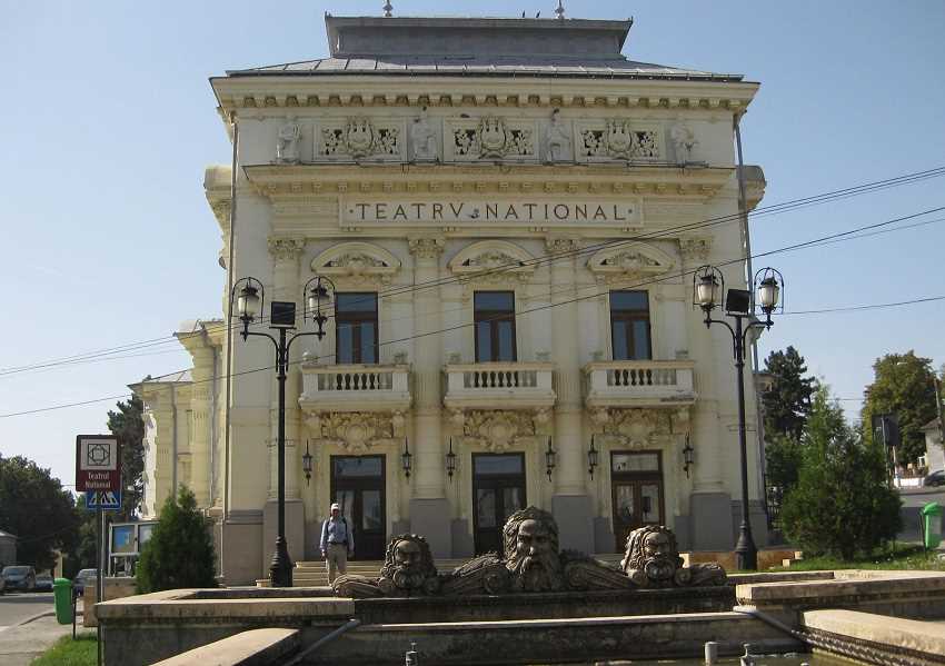
This is Caracal with its outpost of the National Theatre.
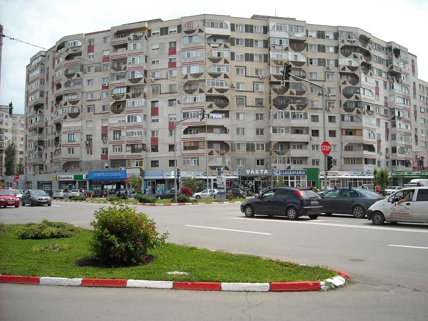
And this is the centre of the administrative town of Alexandria.
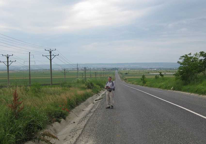
From where we curve back to the Danube to the border town of Zimnicea.
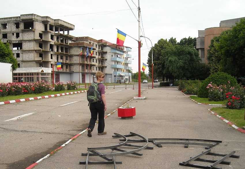
Zimnicea was totally rebuilt in the communist era and this street flanks the central park.
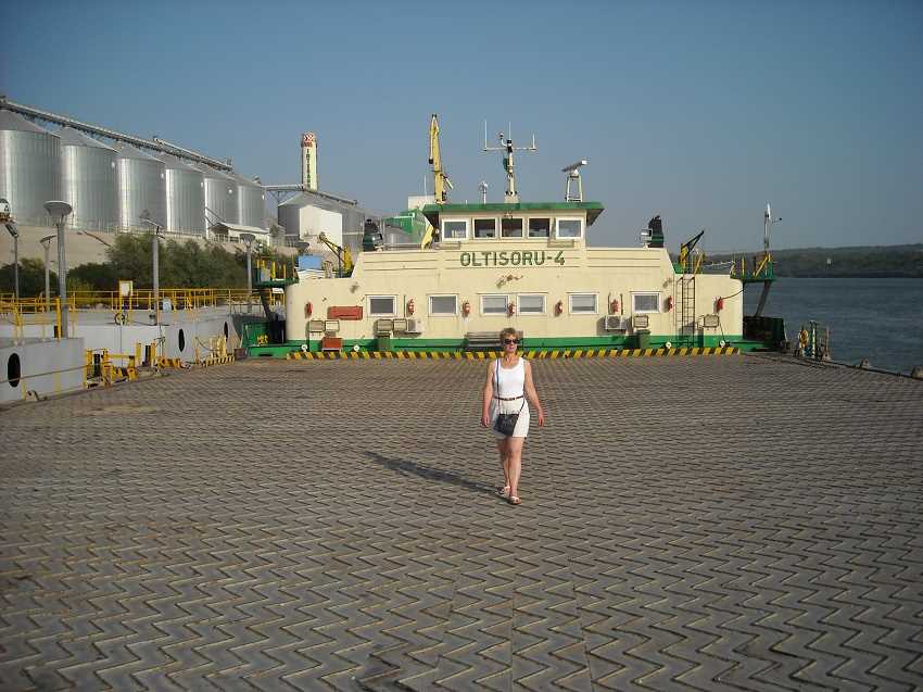
We treat the Danube ferry crossing as a relaxing cruise and are well received by the crew.
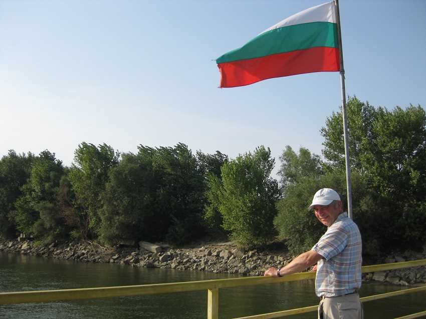
As we cross to Svishtov, Bulgaria.
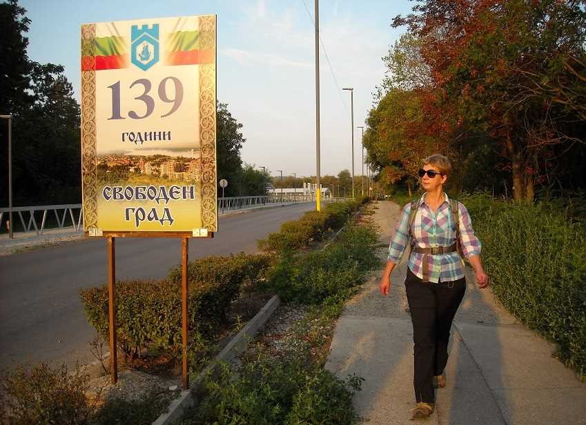
Just outside Svishtov is Novae, once an important Roman town.
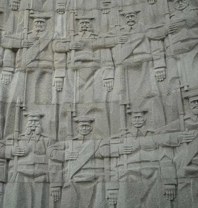
And nearby is this memorial to the Russian landings of 1877 that finally ended Ottoman rule.
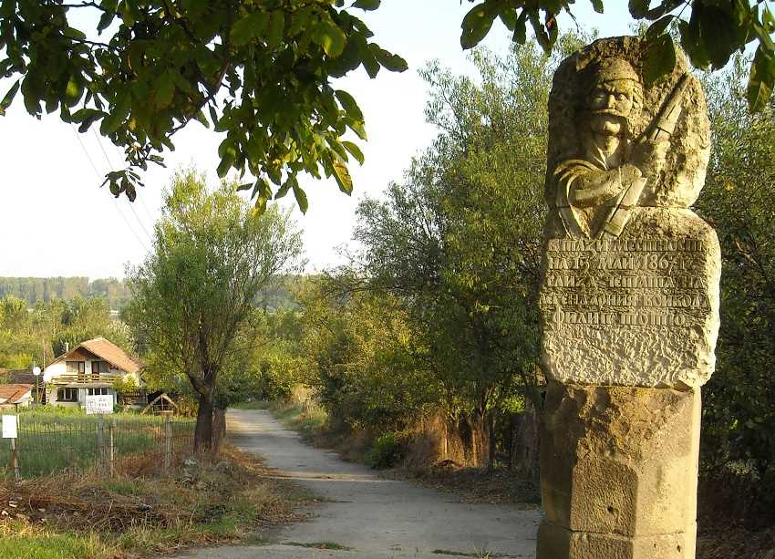
Slightly further on is this smaller, very different memorial, with a date ten years earlier.
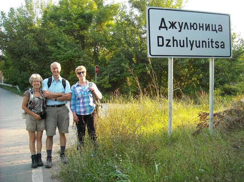
With us are Bella and Chris, our walking support this trip.
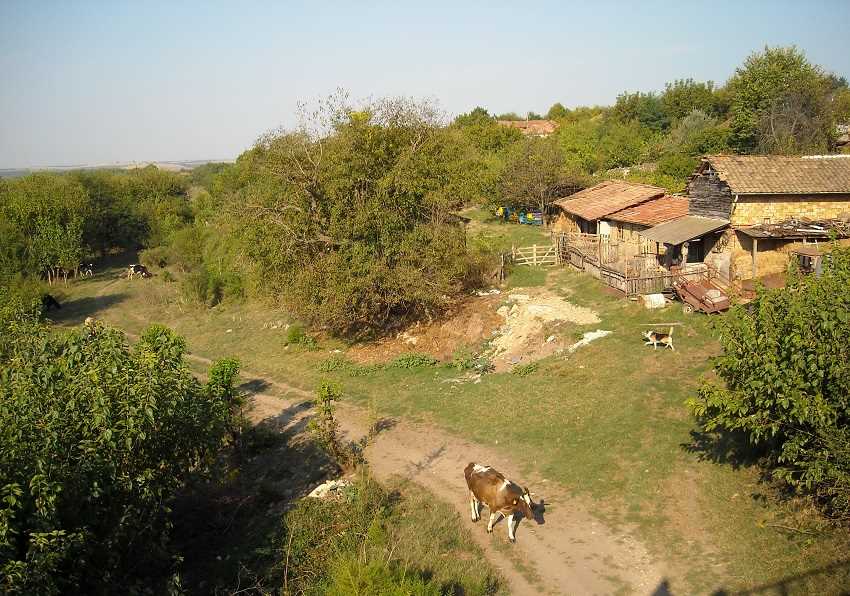
Rural life in Beltsov.

But not all rural scenes are as active as there are many empty properties in rural Bulgaria.
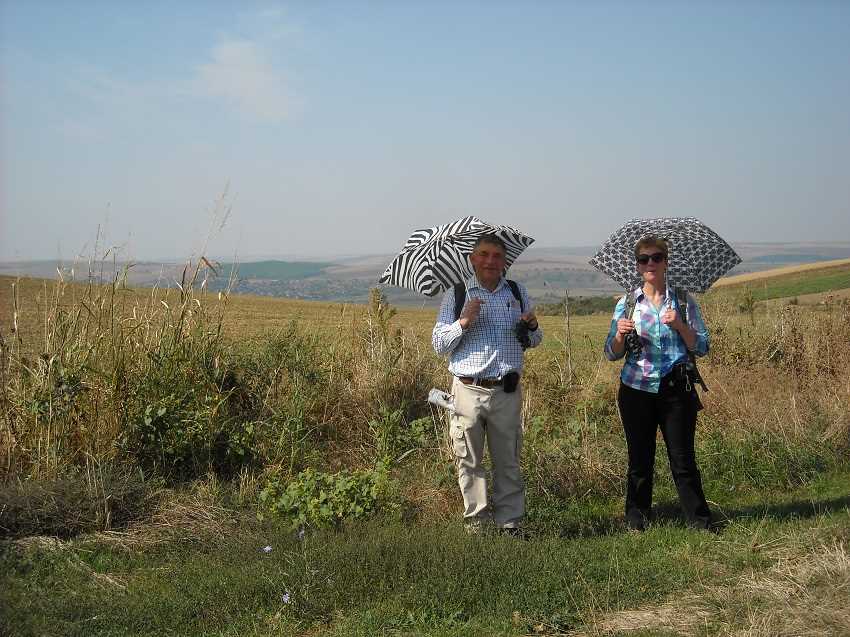
Hot roads follow.
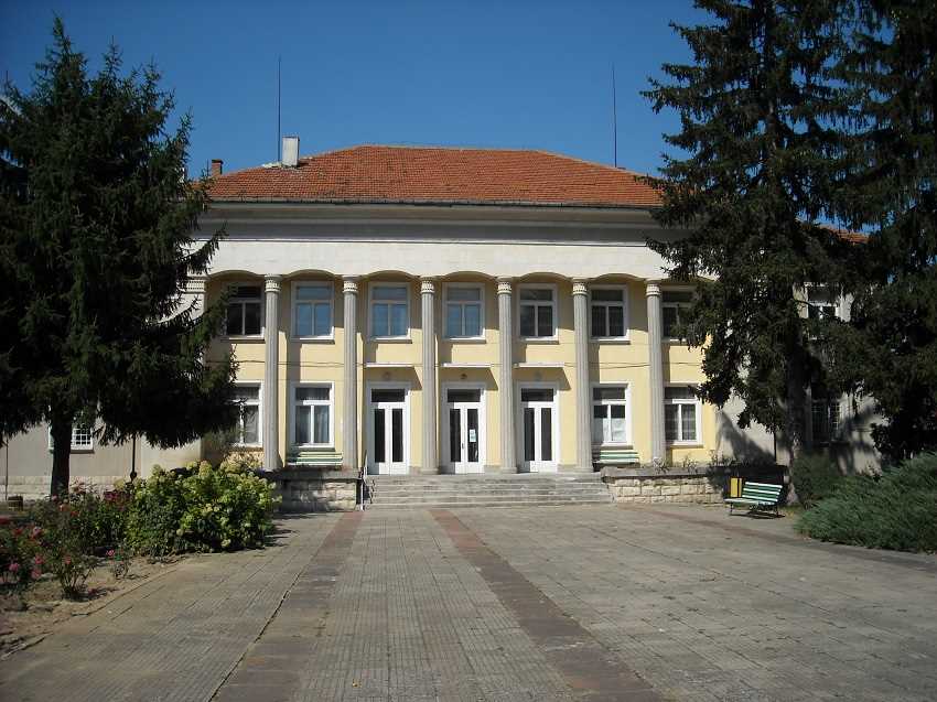
As we reach Ostritsa which has, as does every village, a cultural centre at its heart.
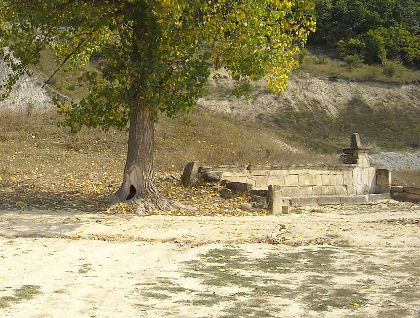
Substantial drinking troughs are another feature of this area but sadly, as here, they are often neglected and dry.
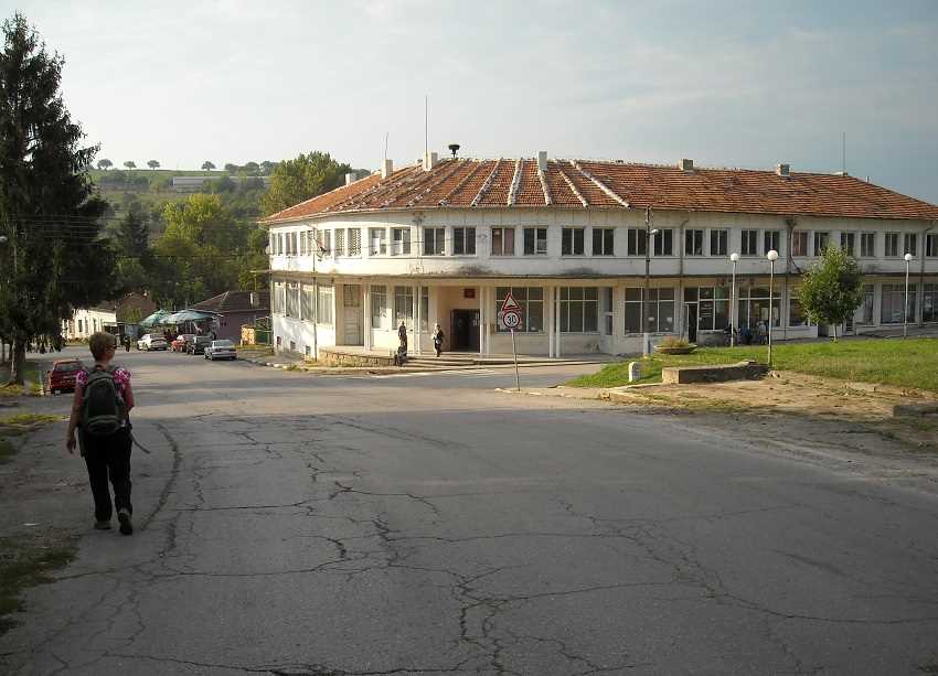
This is Gagovo.
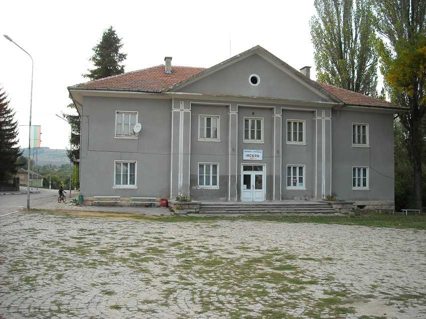
And this is Palamartsa, where the population has declined from 3,000 in the 1960’s, to about 600 today.
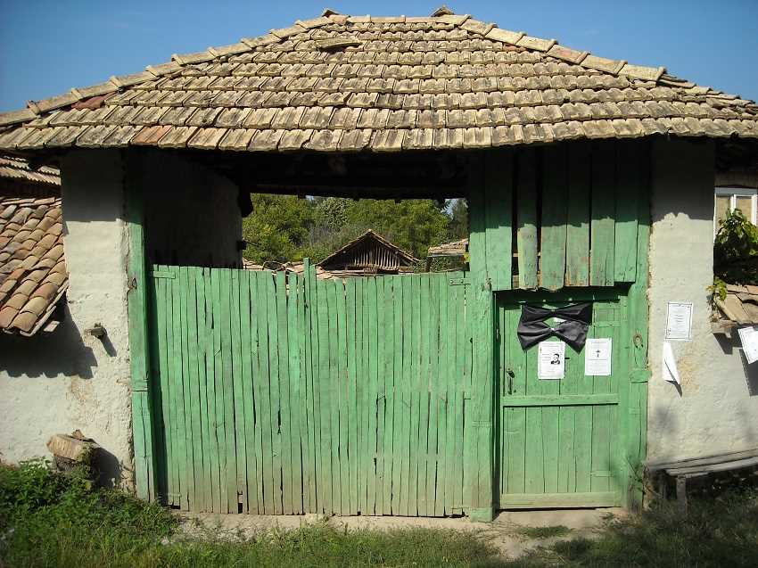
Sadly, when elderly people die, their homes can be difficult to sell.

And Palamartsa has many empty homes.
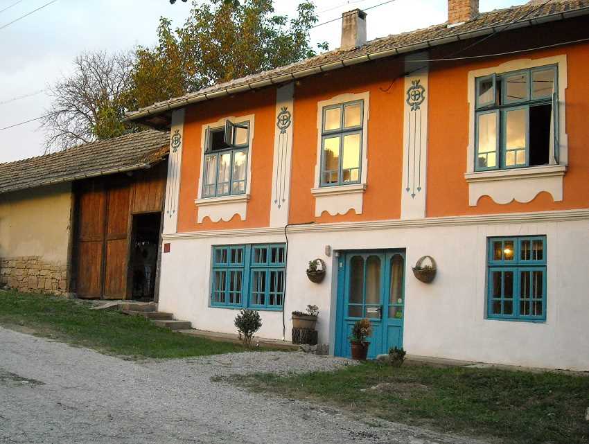
But there are signs of change. This was one of the empty ones but now forms
the character B&B accommodation of Wild Thyme where we much enjoy our stay.
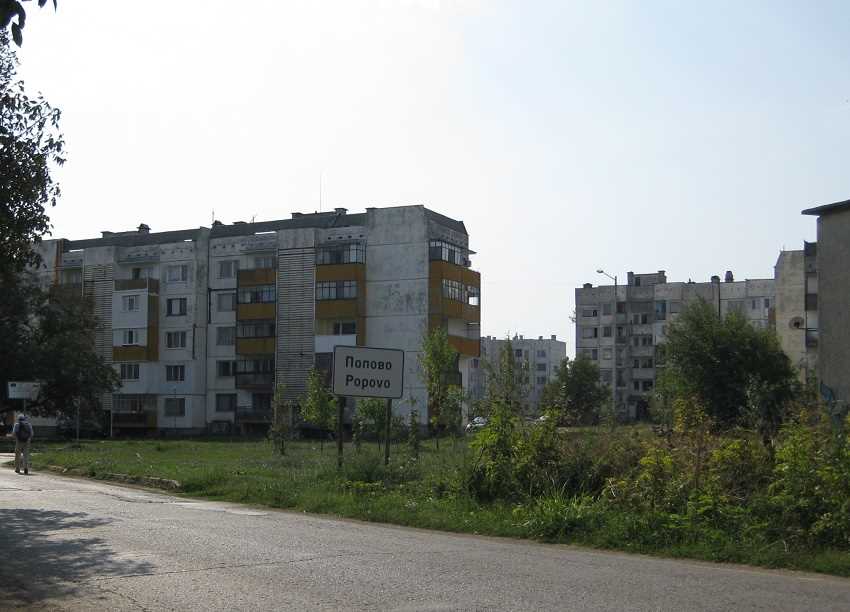
Popovo is next, just five miles away. Population 16,000.
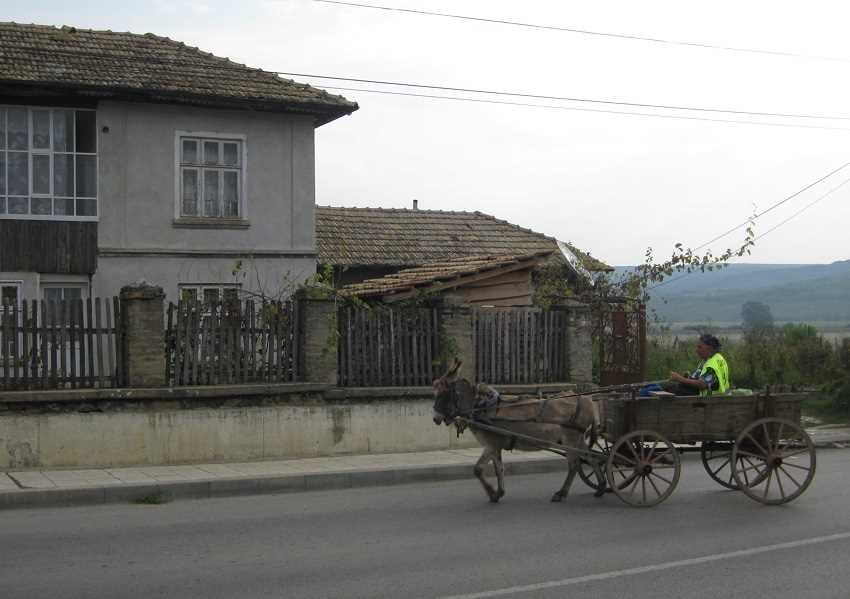
Busier roads for a while now as, in Svetlan, a donkey cart precariously sets off into main road traffic.
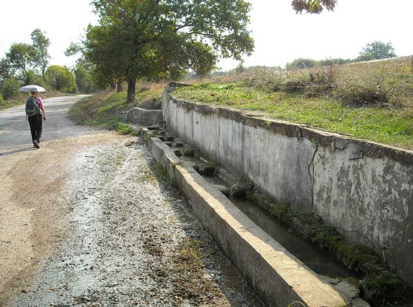
We turn off for Gloginka.
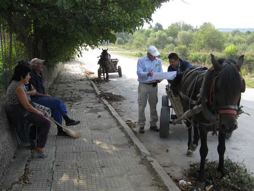
Where, with the slower pace of rural roads, interest is shown in our walking route.
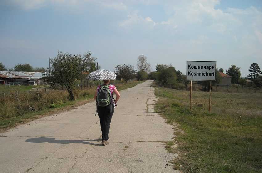
From Gloginka we reach high point Koshnichari.
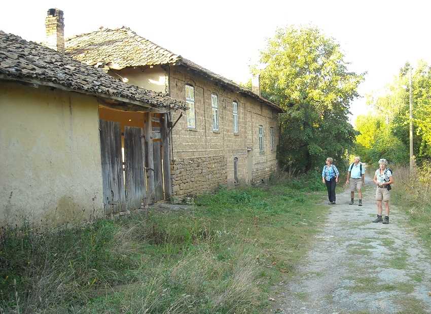
And here, once again, we find empty homes.
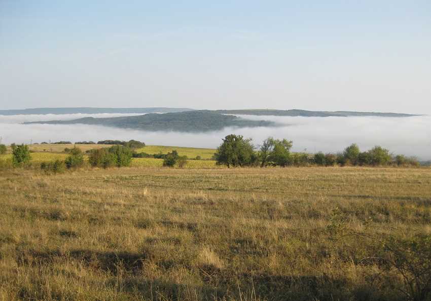
The walk above Koshnichari is superbly atmospheric.

We end today in Targovishte, population 37,000.
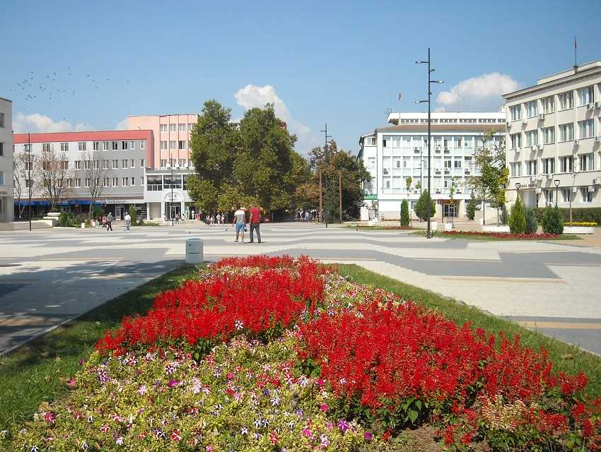
This is Targovishte main square.
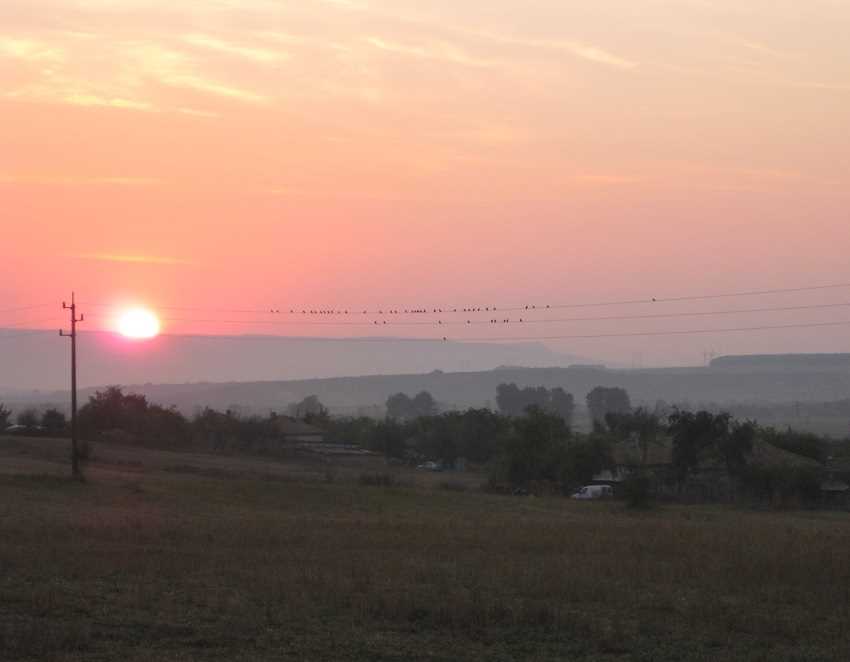
Sunrise the following morning, another road day.
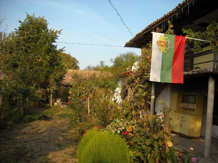
As we pass a well tended home in Pevec.
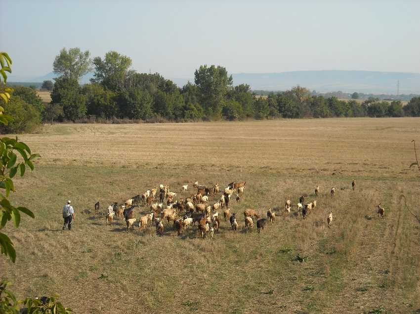
And goats being taken out for the day in Kralevo.
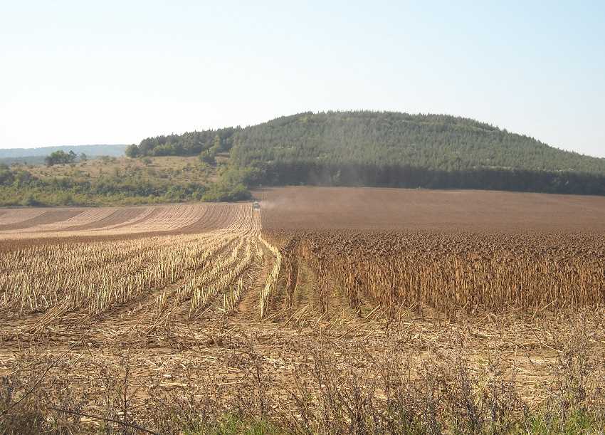
But mostly around here we find large scale farming, as a machine works away in its field.
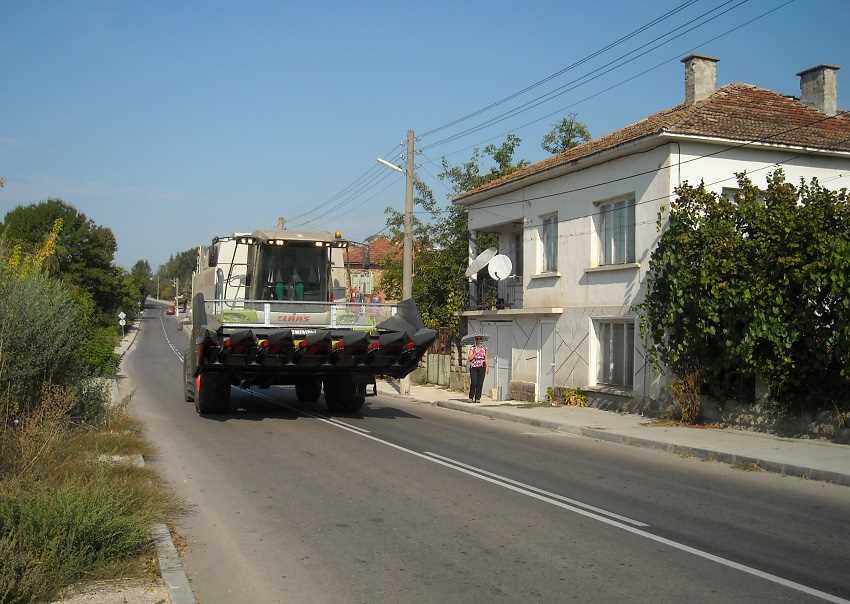
And here is another machine on its way to work. You can make your own mind up about this photograph!
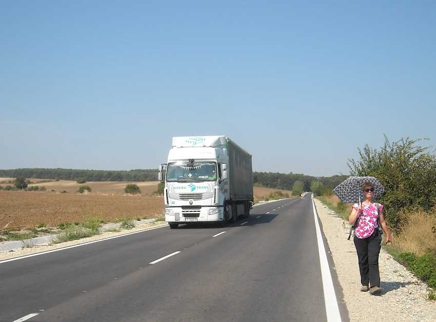
Sometimes we are passed by these.
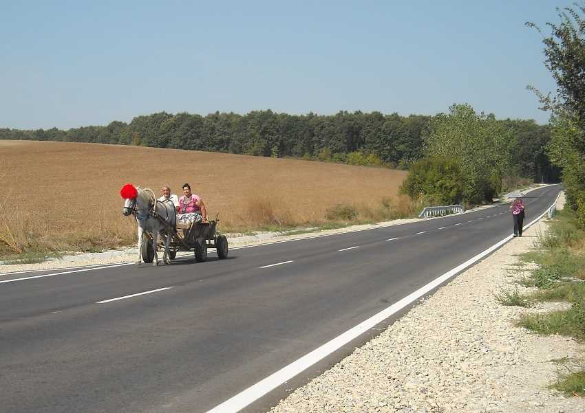
And sometimes we are passed by these.
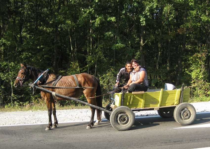
But we, of course, prefer the horse. You can say hello and communicate.
The horse traffic on our walk has been absolutely wonderful!
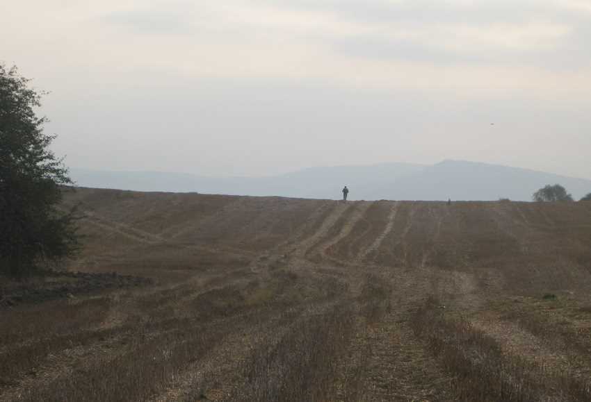
We continue on our way with tracks to follow around Byal bryag .
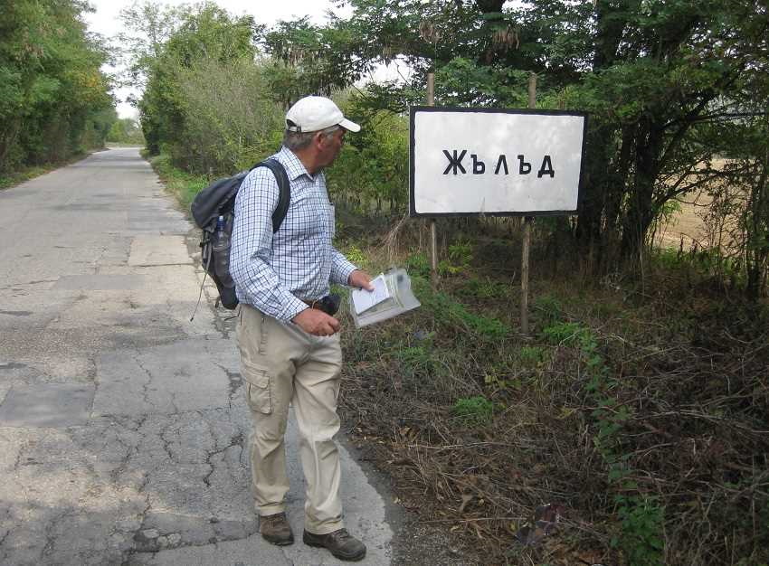
Then comes Zhelad.
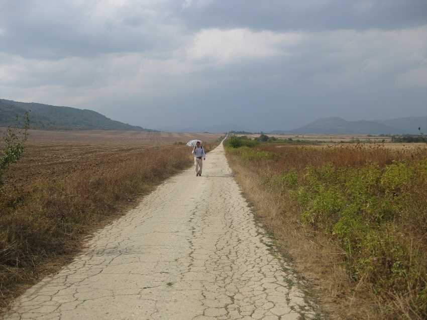
Then another deserted track from Partizani to lakeside Asparuhovo.
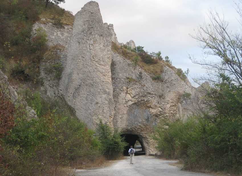
This is also lakeside, the old road through the limestone formations of Chudnite Skali .

We then take to the hills on a track that is not for the faint hearted.
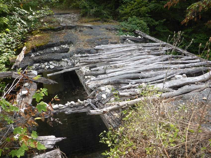
As several bridges are decaying and full of holes!

But this is a vital link for us and fortunately the track does improve as it winds its way up the Balkan Mountains.
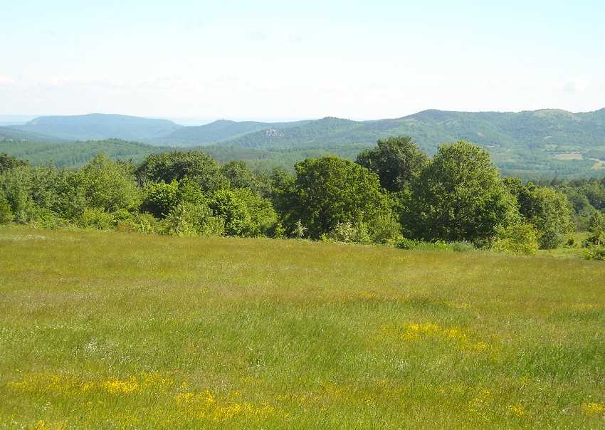
And this view, the following spring, shows the rolling summits to which it leads.
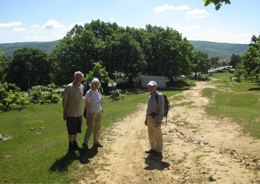
Here villages dot the wooded hills. This is Pripek with Tim and Jan, our support team this side of the mountains .
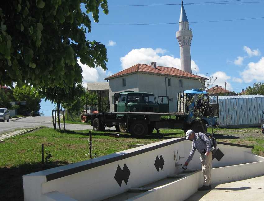
We pause in Podgorets.
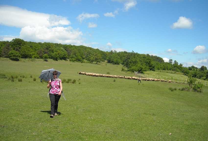
Passing grazing sheep on leaving the village.
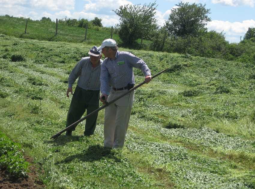
And receiving scything instruction on a large scythe with a cow horn handle.
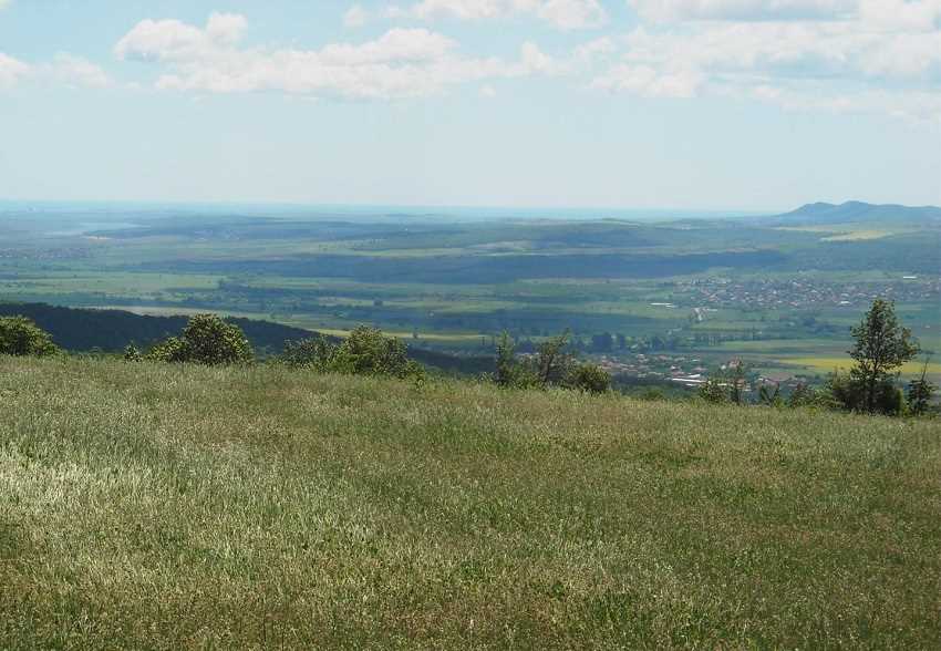
Views to the Black Sea nearing the coastal plain.
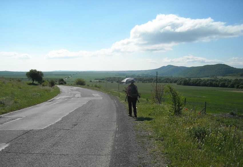
As we walk the long road to Kableshkovo.
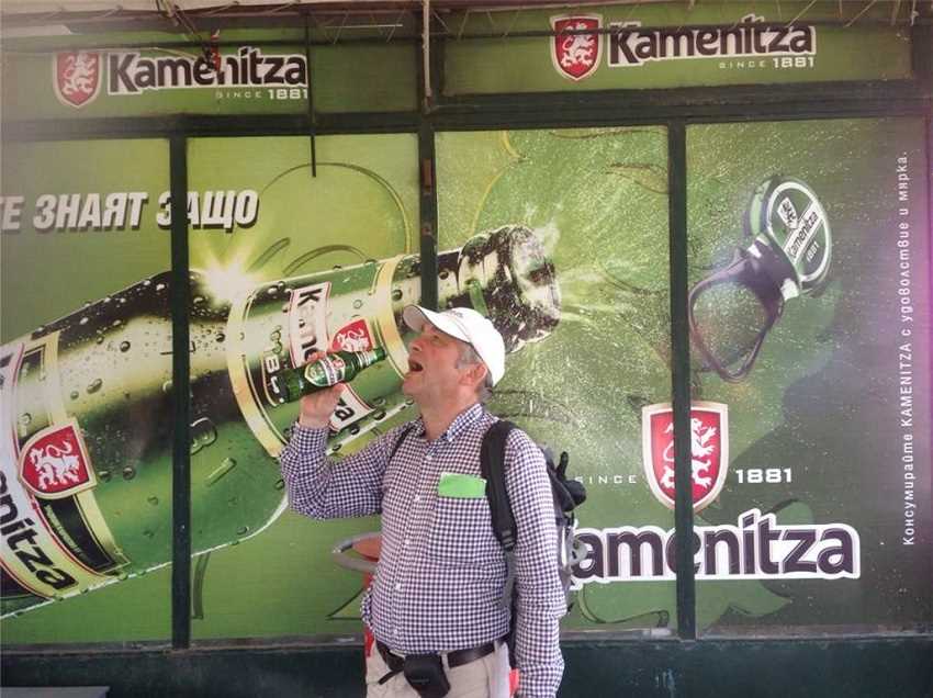
Where thirst can be quenched!
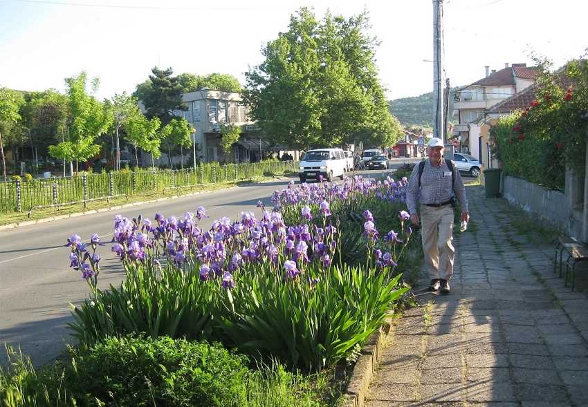
And Kableshkovo next morning, as we take the Burgas road.
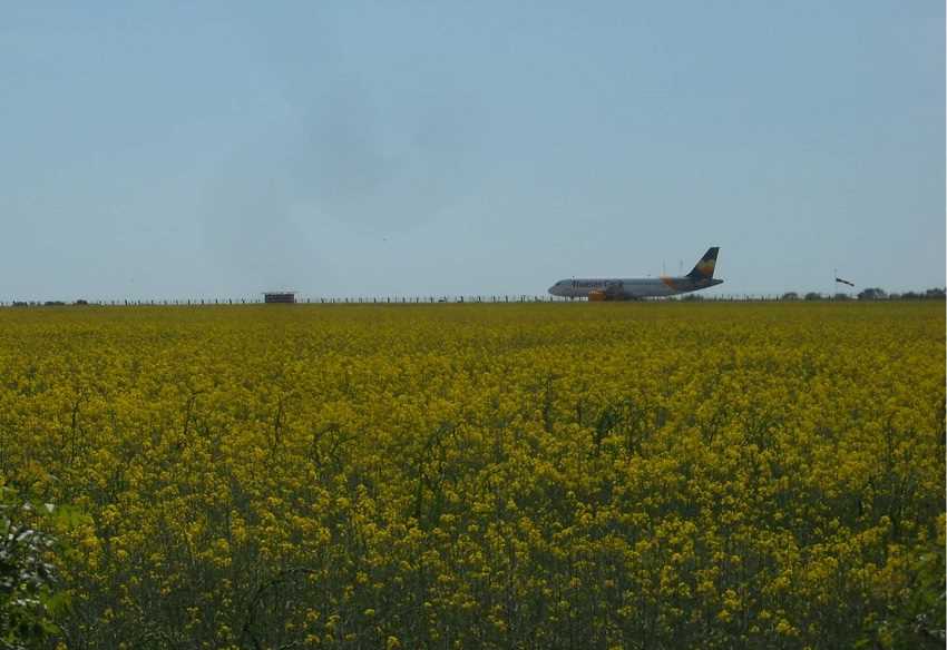
Which leads us round the back of Burgas Airport.
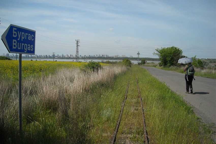
To Lake Atanasovsko, a salt producing inlet of the Black Sea where we find a remarkable narrow gauge railway.
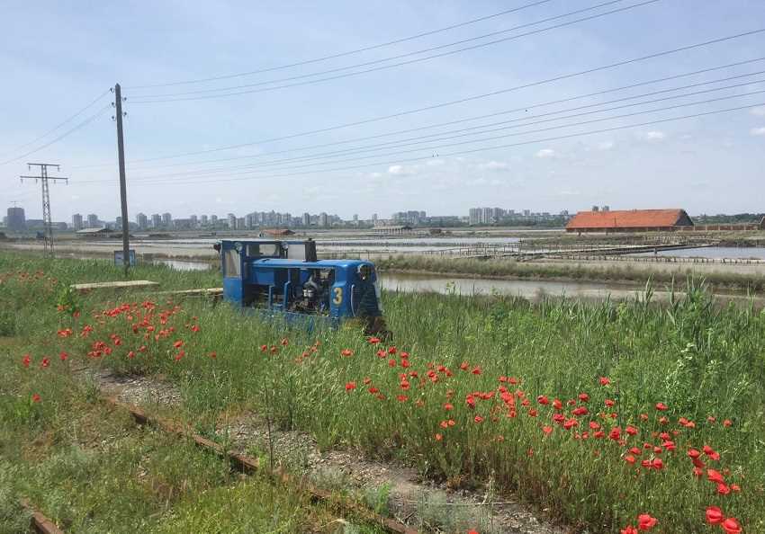
On which Burgas Salt Railway No 3 trundles by with a group of neglected salt pans behind.
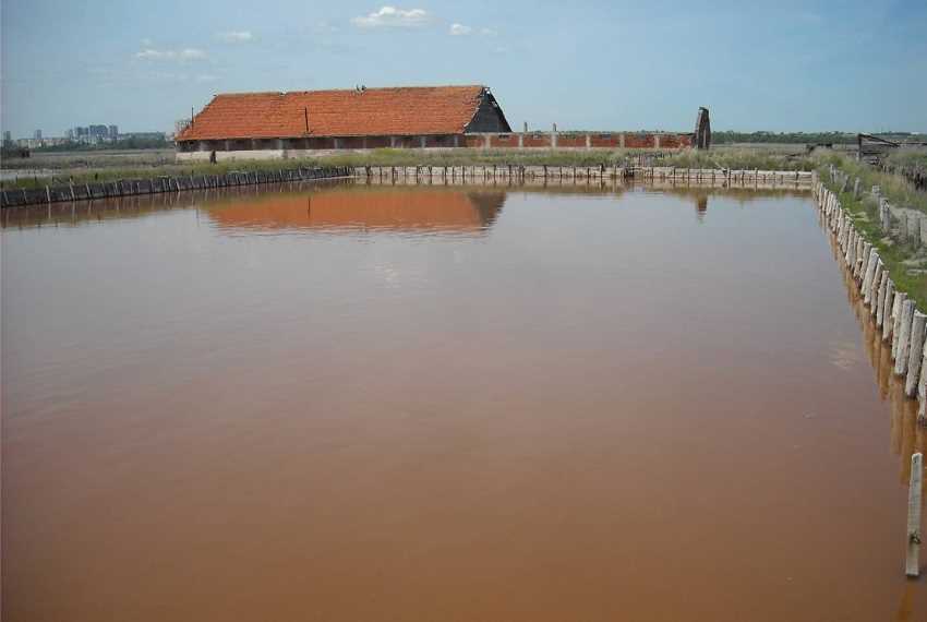
Red is a typical colour of salt production in this fascinating area.
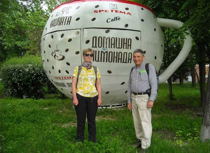
Burgas also has a beach resort as we prepare for departure the following morning.
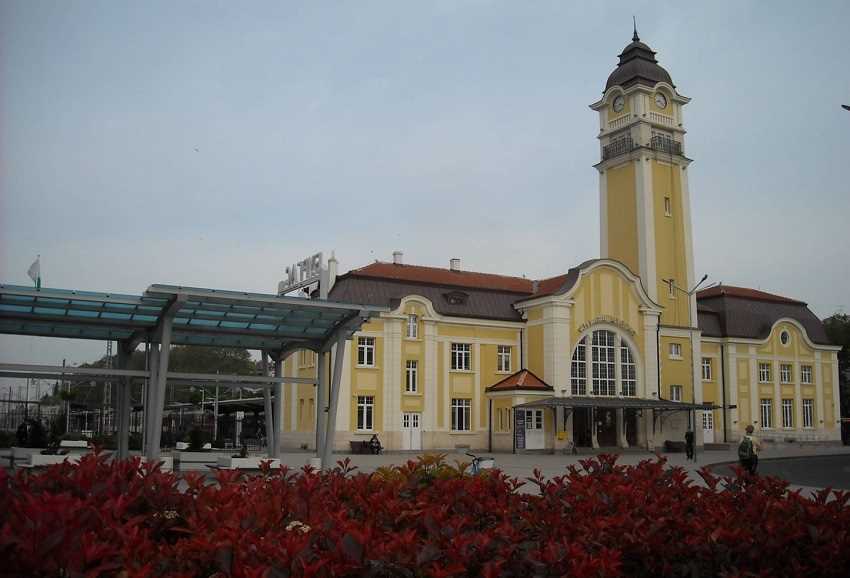
To pass the railway station, looking very smart for its handful of trains a day.
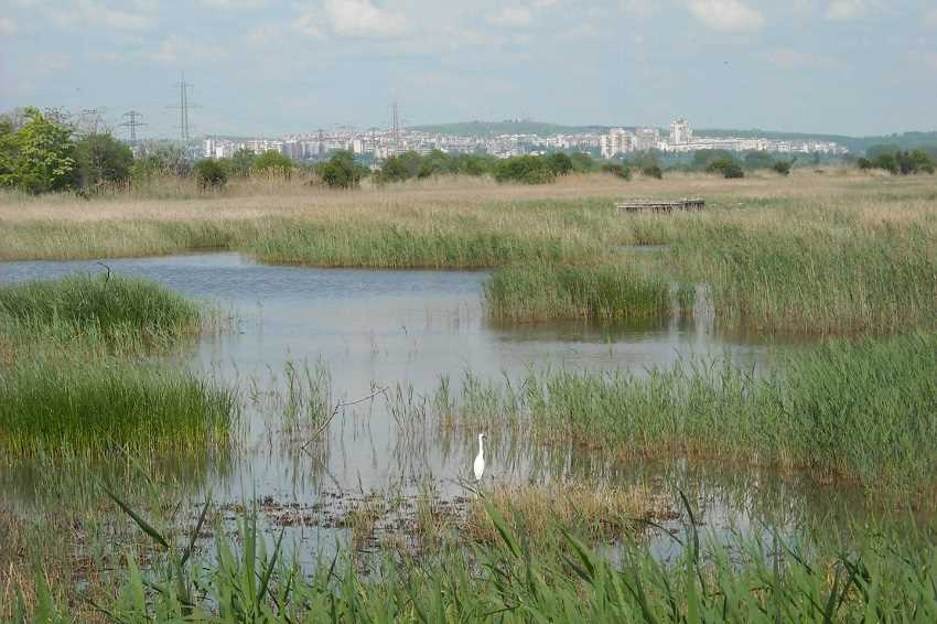
East of Burgas is a bird reserve in which a Great White Heron is fishing.
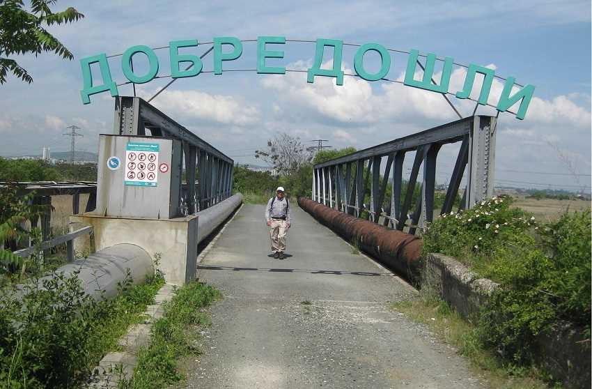
The sign across the reserve access bridge reads "Dobre Doshli". "Welcome" in the Slavic languages.

We have old main road to follow for most of the day.
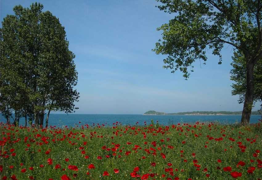
Diverting through the poppies for a beach section near Chernomorets.

More lovely coastline follows. Here we look back to Sozopol.
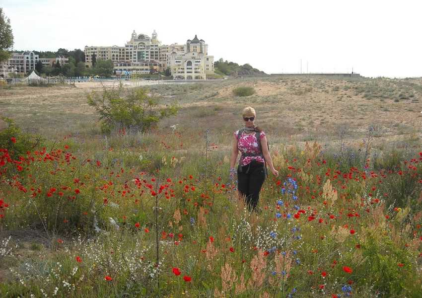
And these are the dunes of Dyuni with the Marine Royal Palace resort in the background.
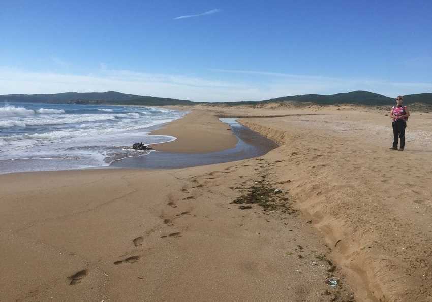
Dyuni beach is idyllic.
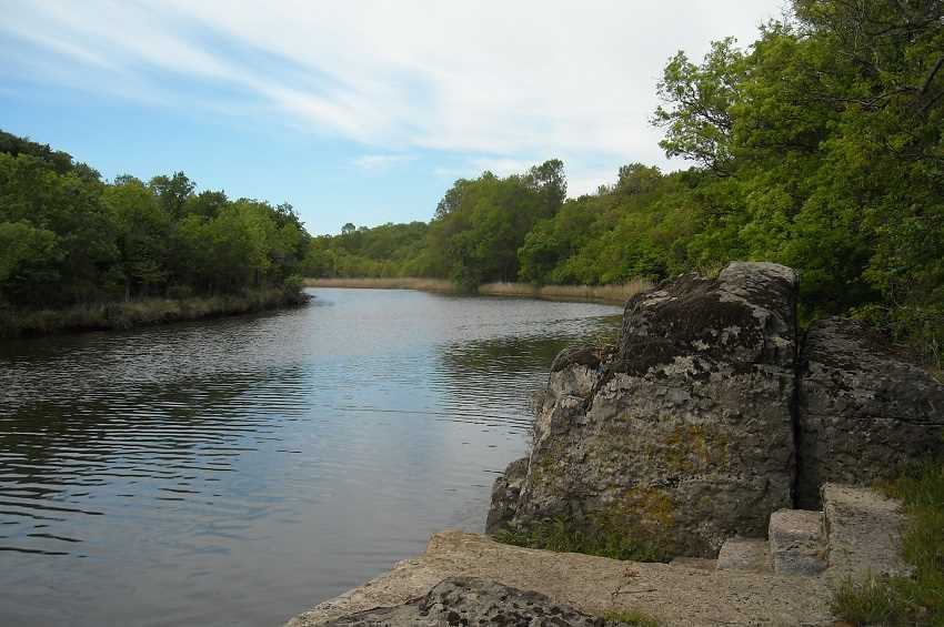
After another headland comes the Ropotamo River.
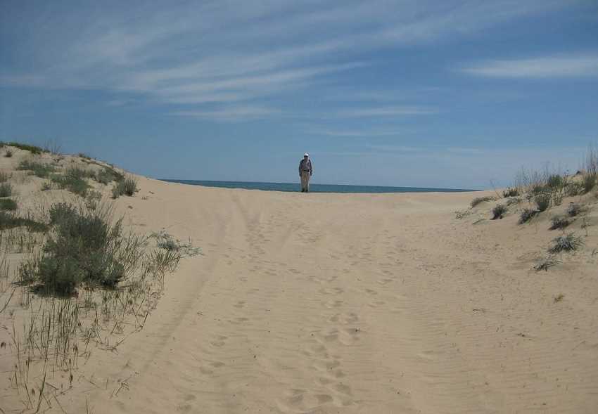
With more miles of golden sand at Primorsco.

And another example of the Bulgarian problem of uncompleted development.
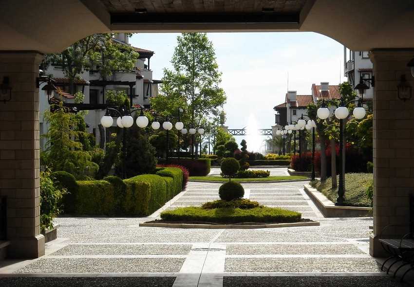
Near Lozenets most developments are luxury.
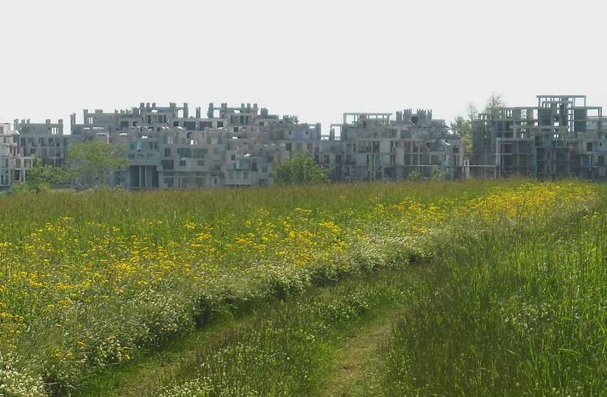
Which makes this abandoned construction site north of Tsarevo even more of a surprise.
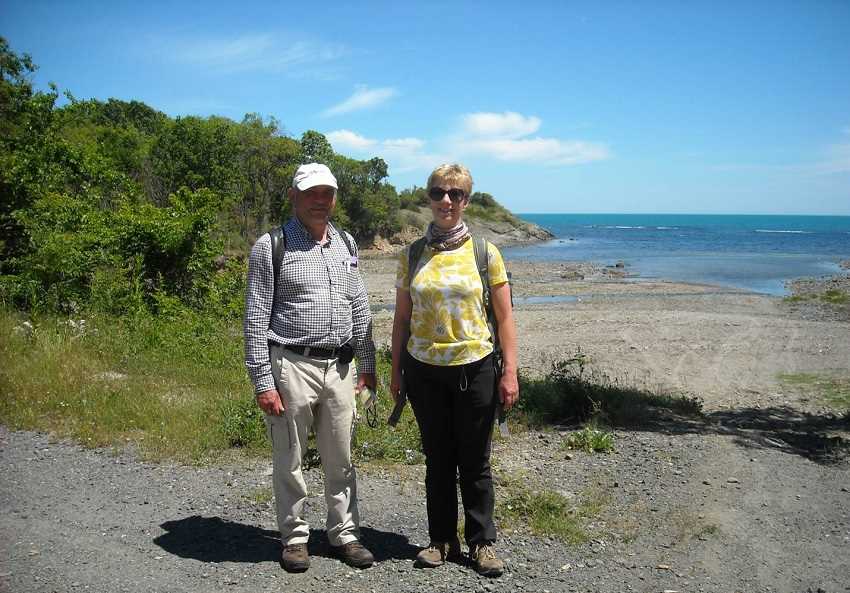
Varvara now as we reach 2,500 walking miles from our Herefordshire home.
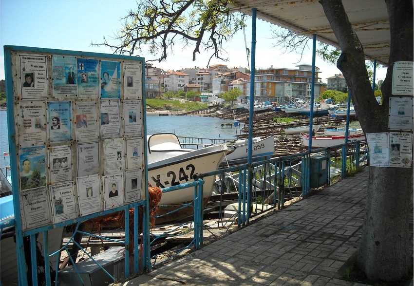
Fascinating Ahtopol follows.
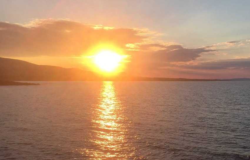
With an Ahtopol sunset as the end of our Bulgarian walking nears.
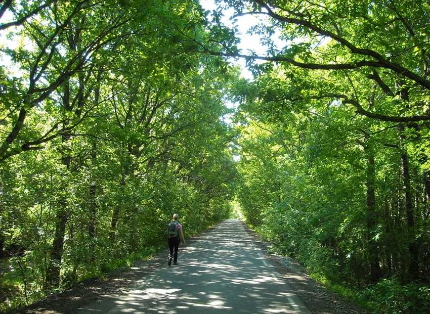
We are now in Strandzha National Park, where the road is deserted and the woodland full of bird song.
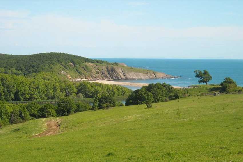
The Veleka River from Sinemorets.
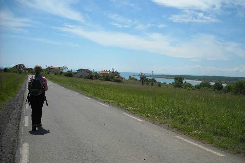
And another coastal view approaching the border village of Rezovo.
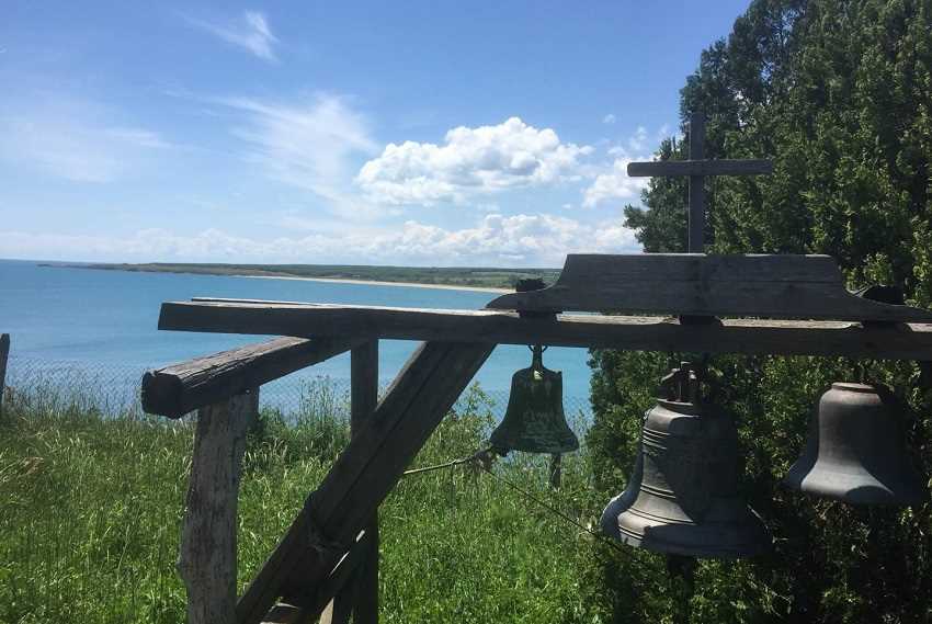
Rezovo's cliff top church overlooks Turkey.
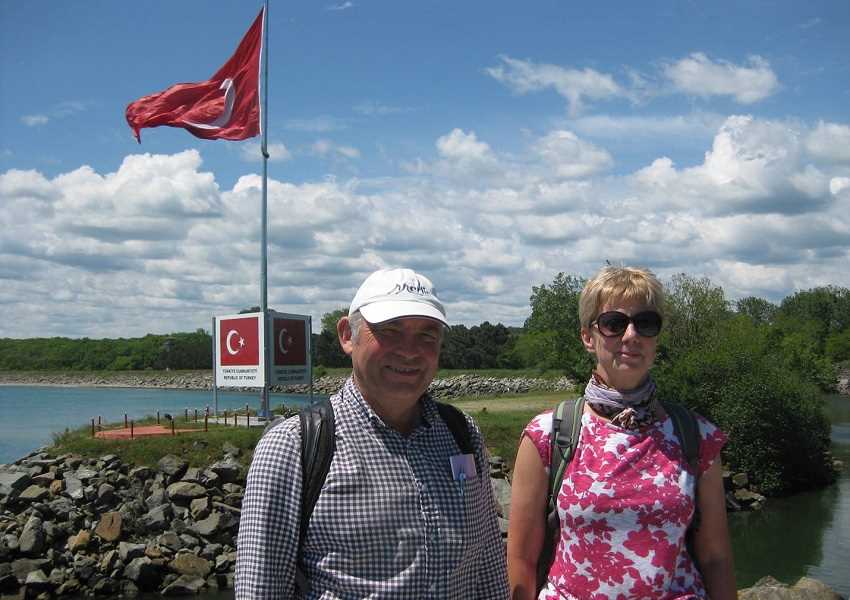
And, by the border flags of the Rezovo River, we end our Bulgarian travels and head home.
This border cannot be crossed here.
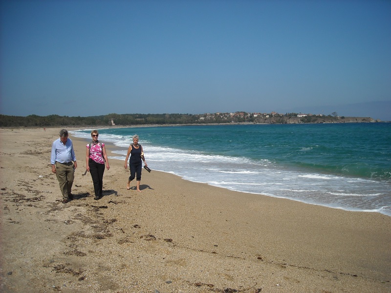
Rezovo from the Turkish side as, with Chris and Kitty, our support this trip,
we walk away from the border security zone and back down the beach.
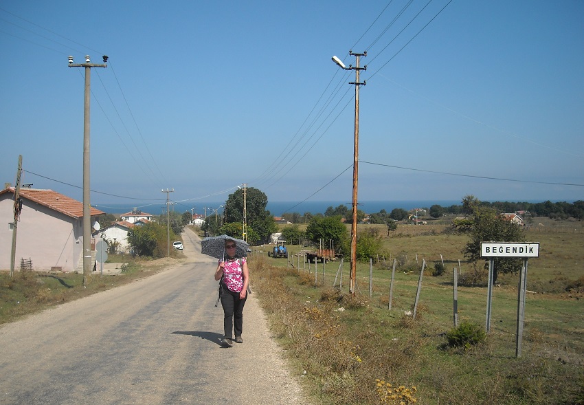
Our first Turkish village on our walk proper is Beğendik.
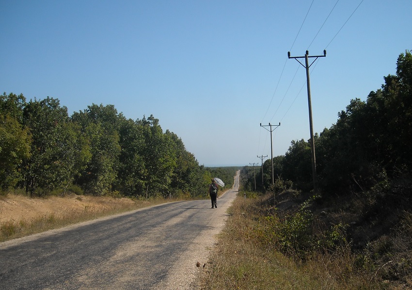
As we now follow the road to Iğneada.
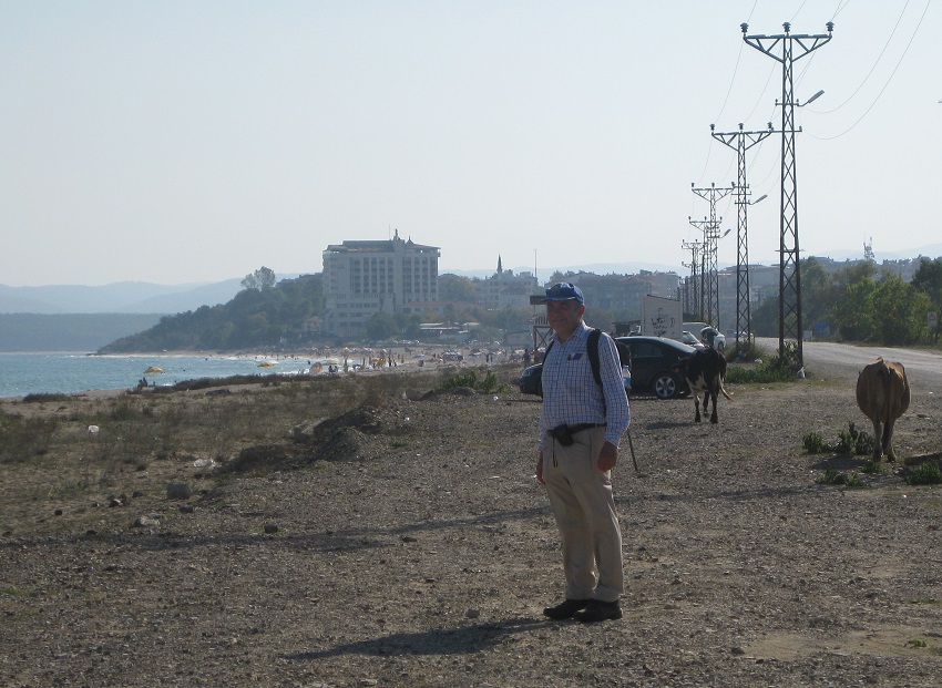
Where we will stay at the beach complex ahead.
Cattle roam free in Turkey, a real difference to countries to the north.
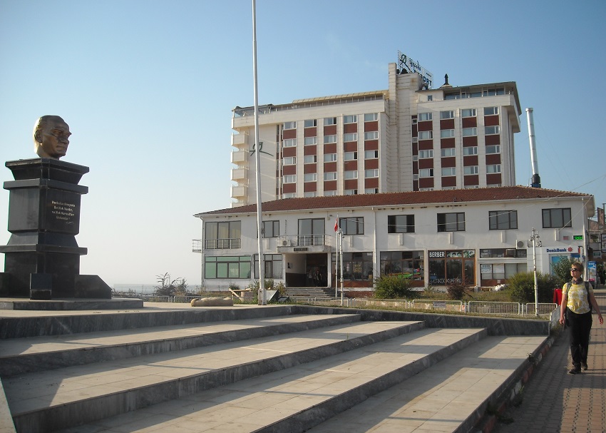
Beside our hotel is a bust of Mustafa Kemal Atatürk, the Father of Turkey, who rose from Ottoman army officer
to become the first President of Turkey.
All towns have an Atatürk statue.
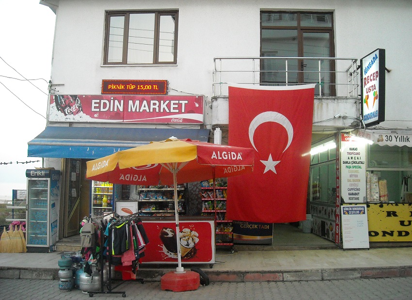
We also pass Edin Market.
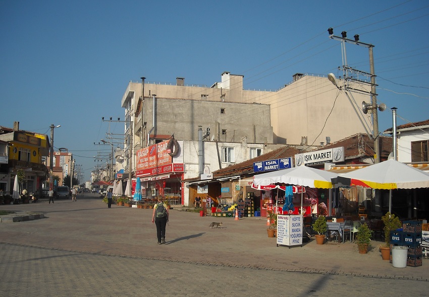
As we head out of town.
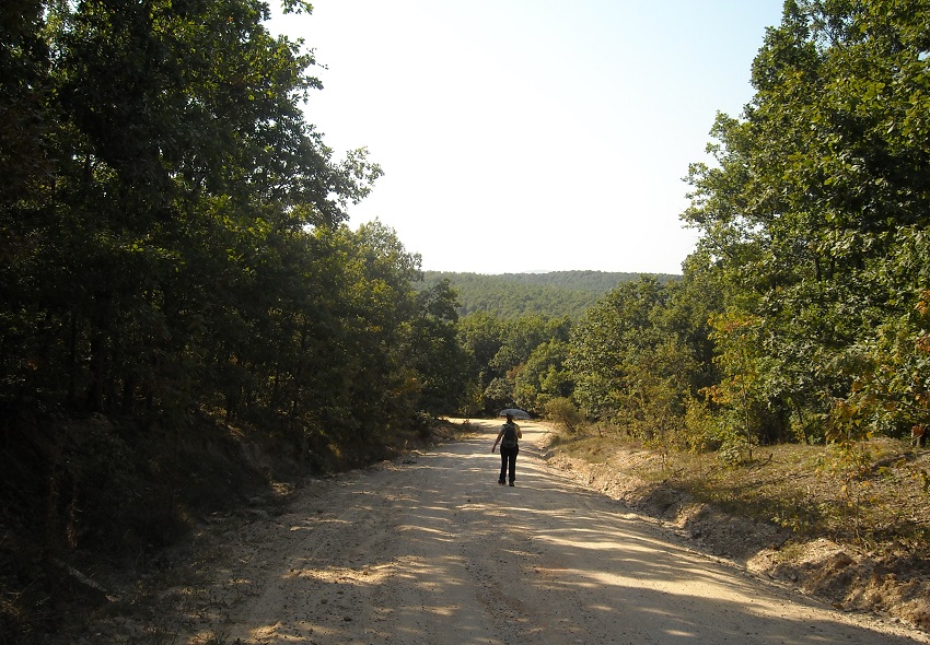
To find the dirt road to Sivriler.
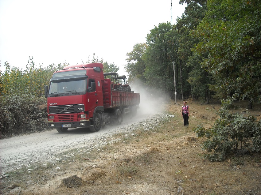
A road that was very, very quiet. This was the only lorry we passed.
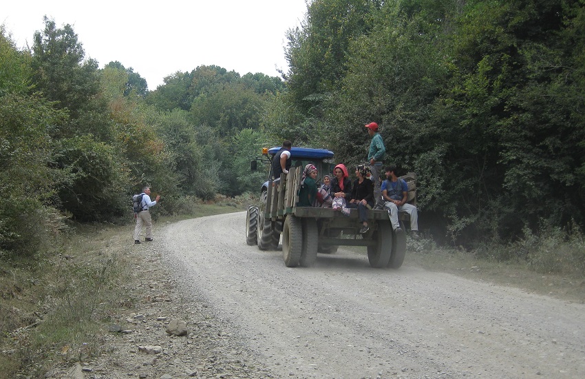
And this the only tractor.
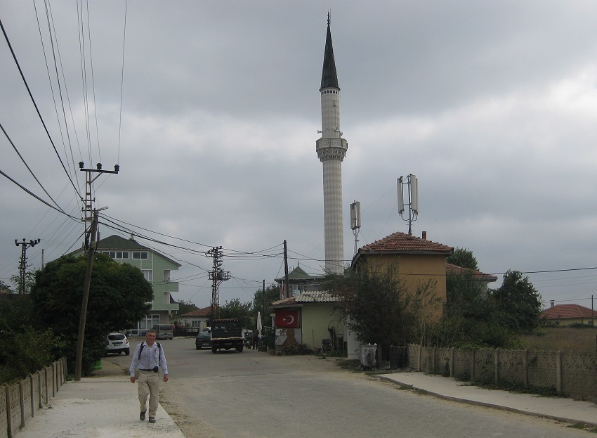
Remote Sivriler village.

And here we find a gentleman returning with a load of moss.
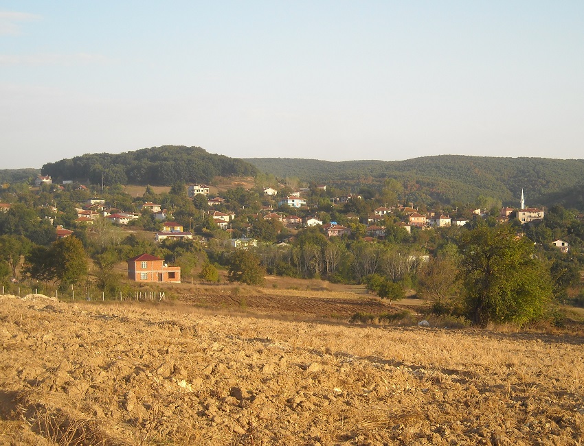
Kızılağaç next.
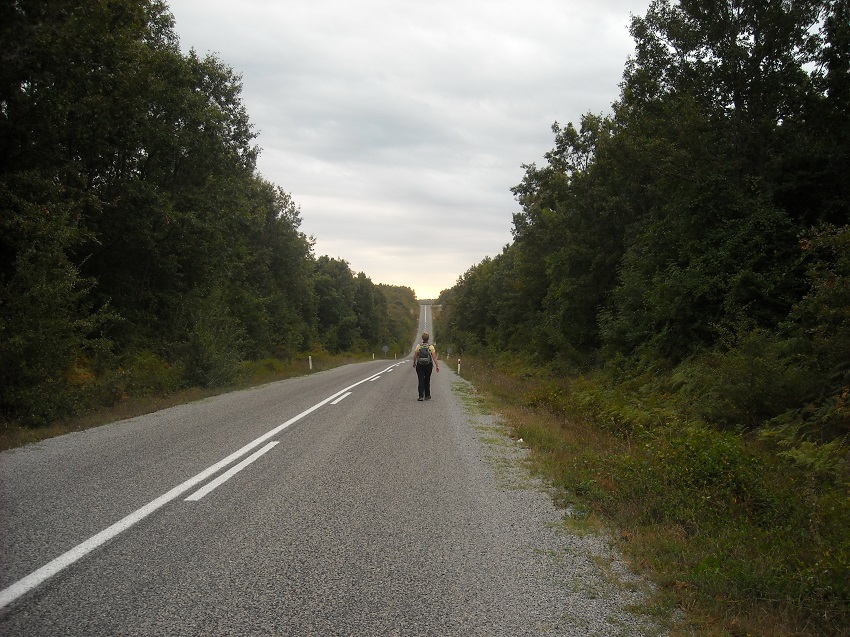
Then the road to Kıyıköy.
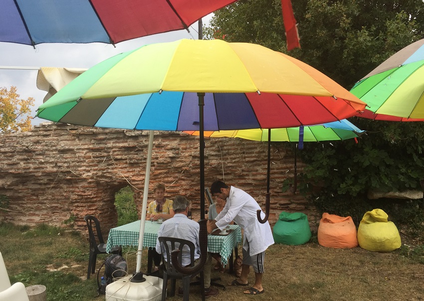
Where we take tea on the old town walls.
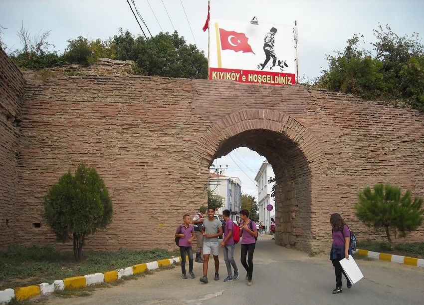
Just up and to the left of the main gate.
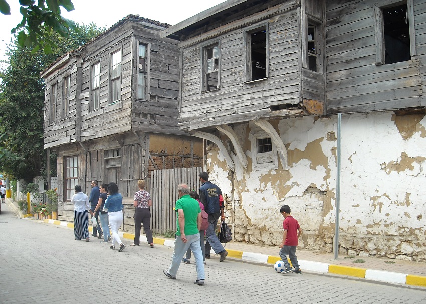
Some character buildings line the main street.
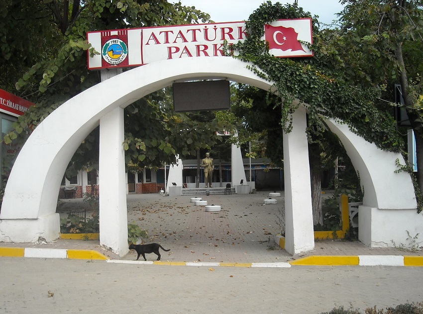
As does Atatürk Park, complete with statue.
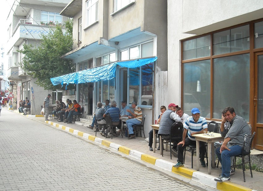
And, of course, café life is everywhere.
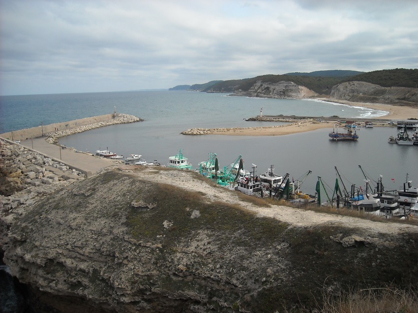
Kıyıköy ends at the harbour and here we look out over our walking route ahead.
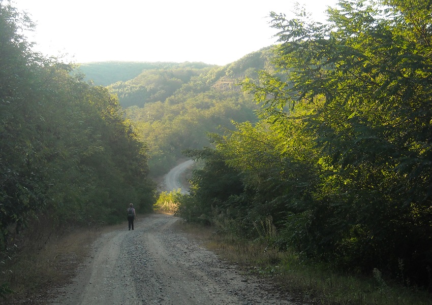
The next day is an undulating day.
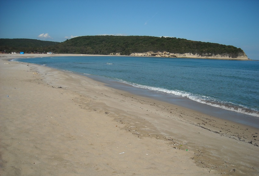
As we follow a dirt road to attractive Çilingoz.
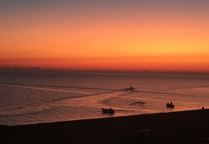
Then a tarmac road to Yalıköy, which has a sizable fleet of small fishing boats.
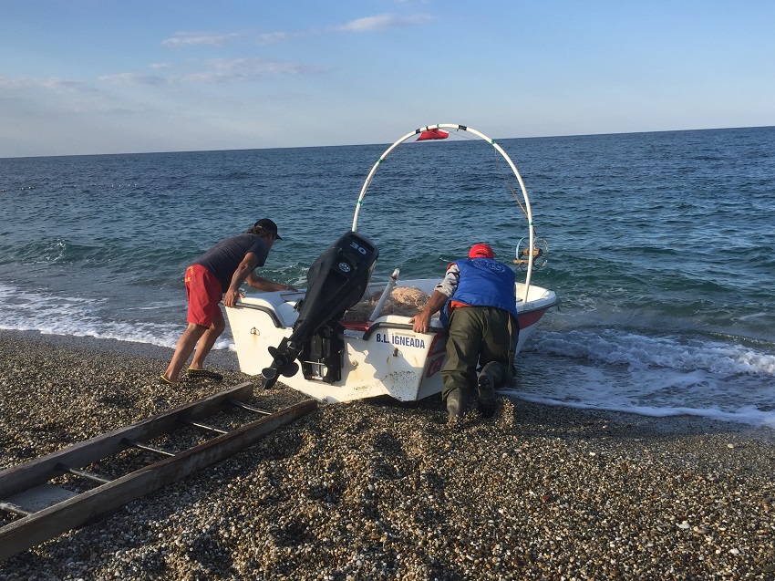
Boats that are launched at a run off the beach.
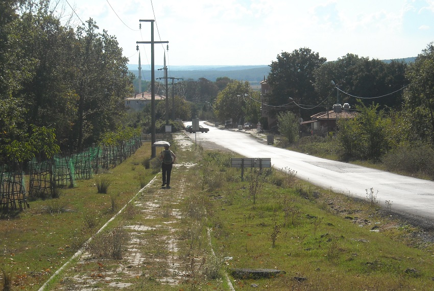
Karacaköy comes next.
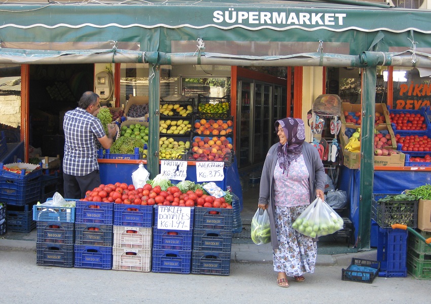
Where their main street is also busy.
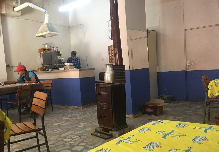
And we take tea inside a main street cafe.
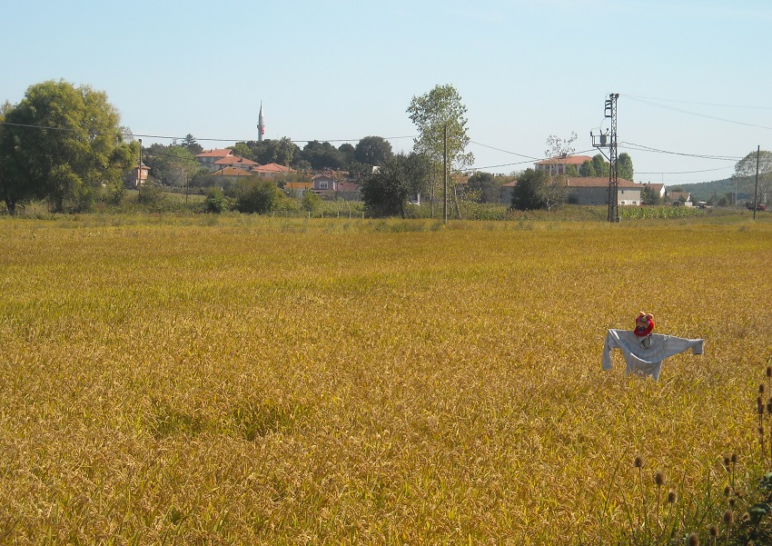
Ormanli next, surrounded by rice fields.
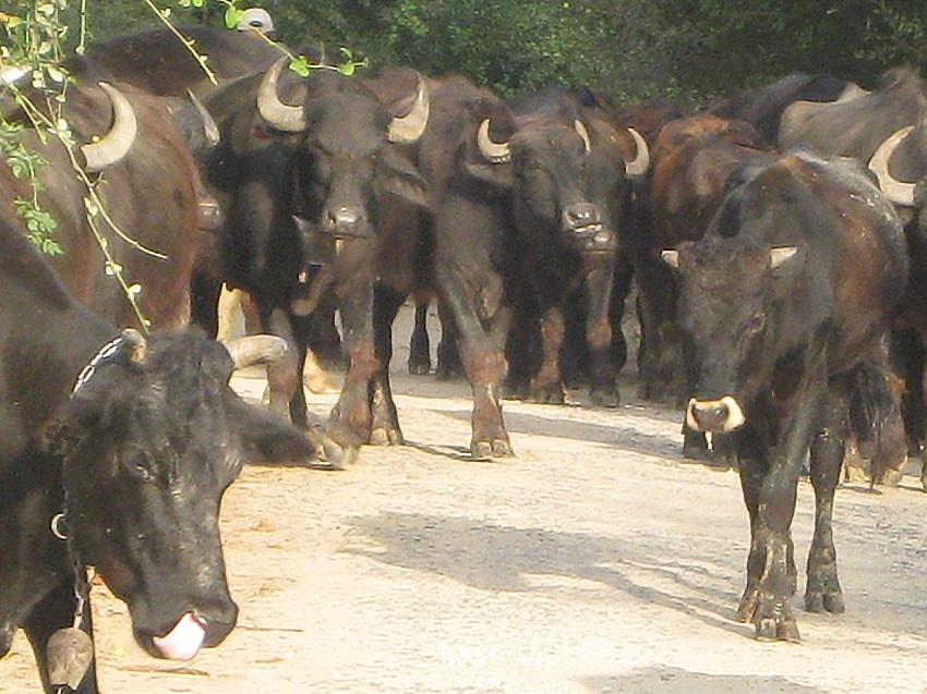
Where we pass, with some difficulty, a slow moving buffalo herd.
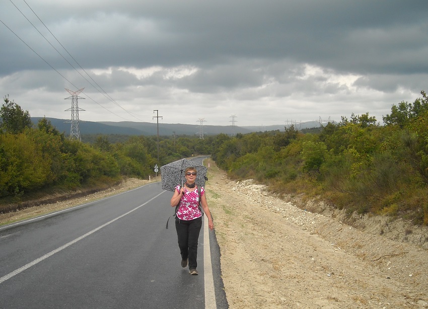
Open road follows.
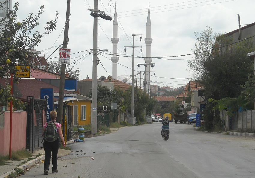
As we reach Çanakça.
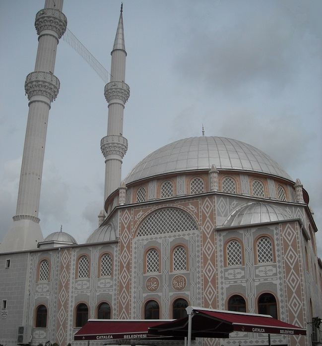
Where the mosque is impressive.
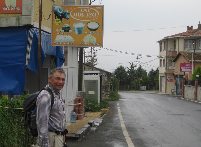
Then Örcünlü, which has a buffalo dairy with mozzarella cheese, (in the basket), as one of its products.

Istanbul nears.
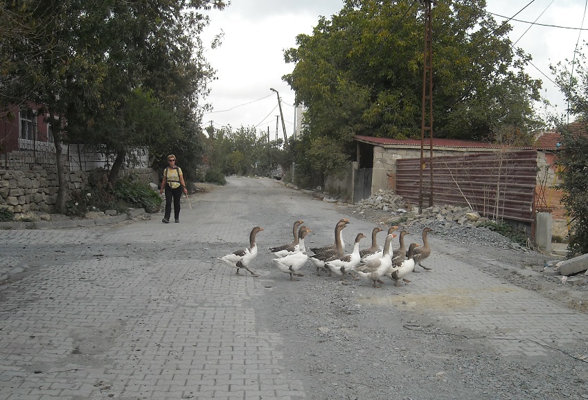
But we can still experience rural life for a short while yet, as here, in Çilingir.

Arnavutköy is our first large settlement.
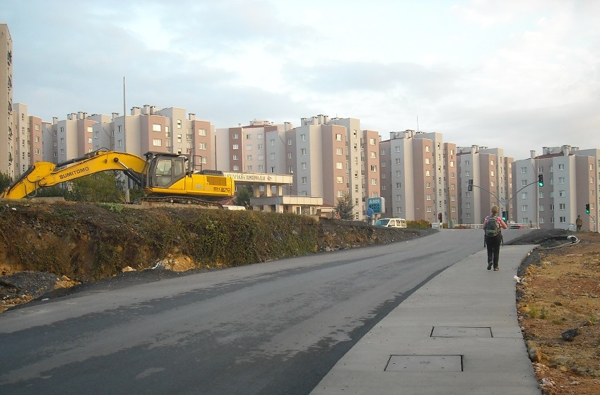
With extensive modern suburbs.
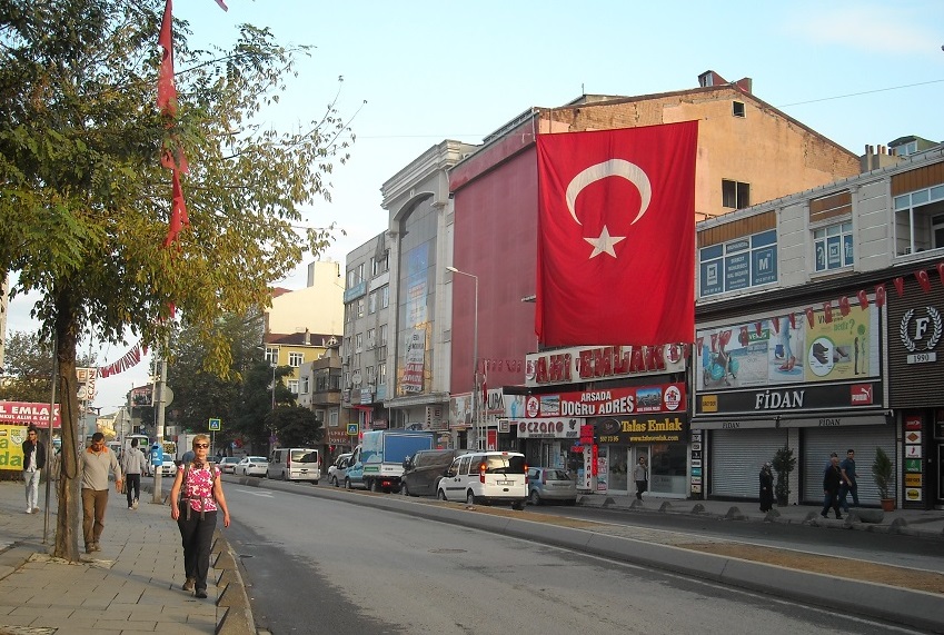
Then central Arnavutköy.
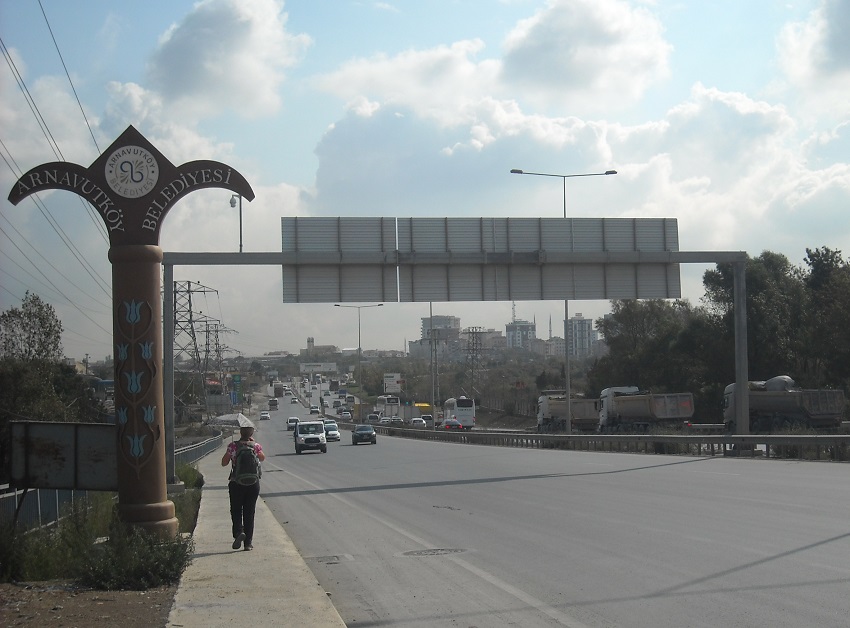
And from Arnavutköy all roads are busy.
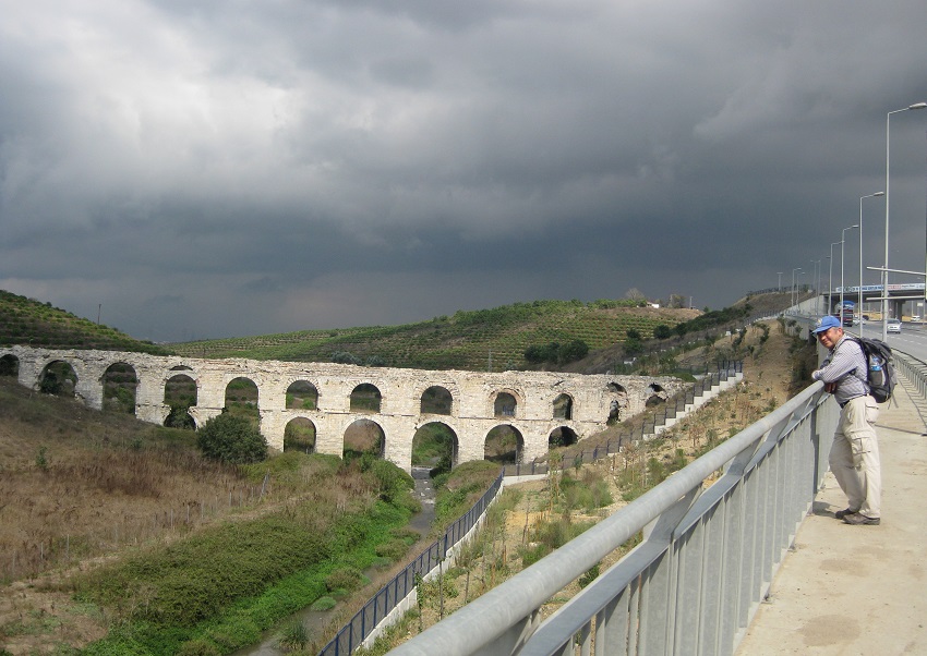
A large military area flanks Istanbul proper and amazing to find this Roman aqueduct on its southerly edge.
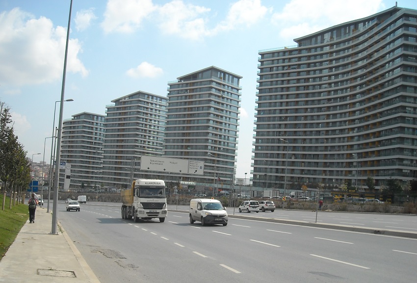
This view, almost across the road, is quite a contrast.
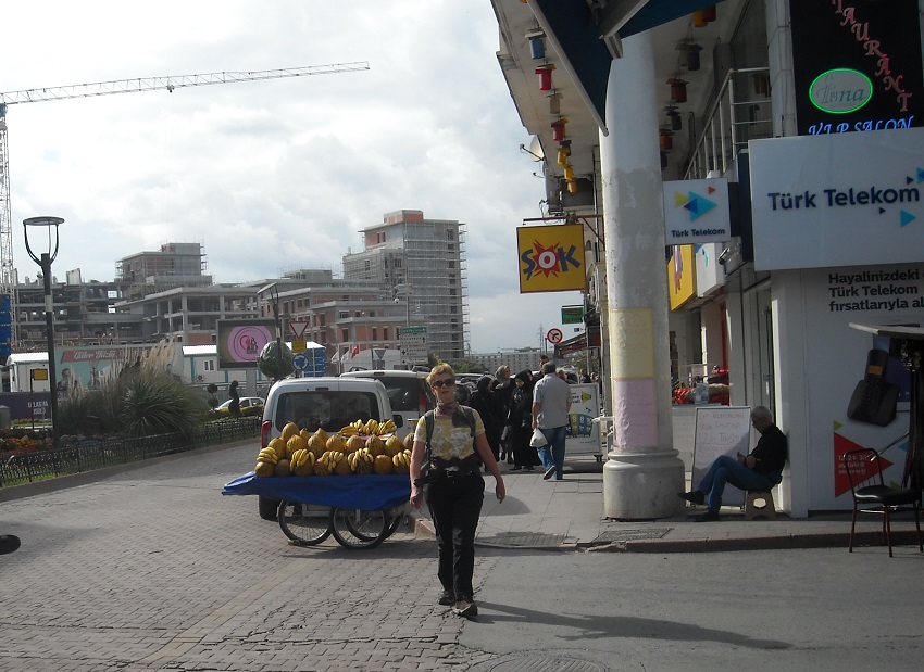
Our route into the city is a mix.
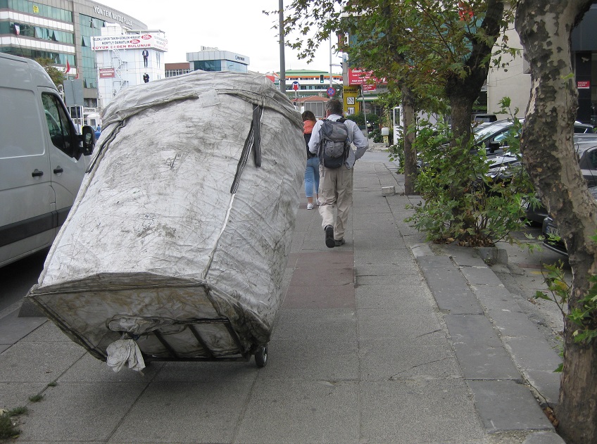
With all kinds of traffic.
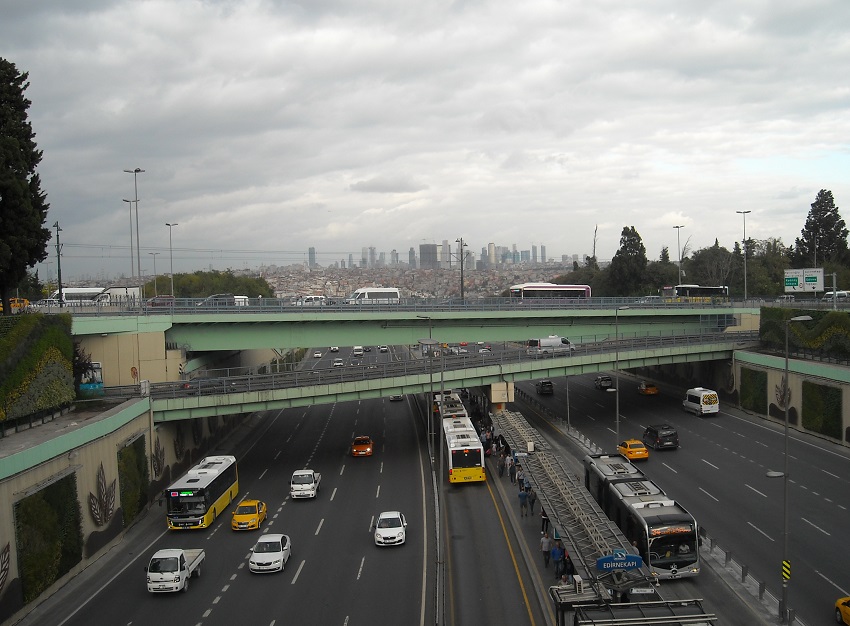
This road parallels the City Walls.
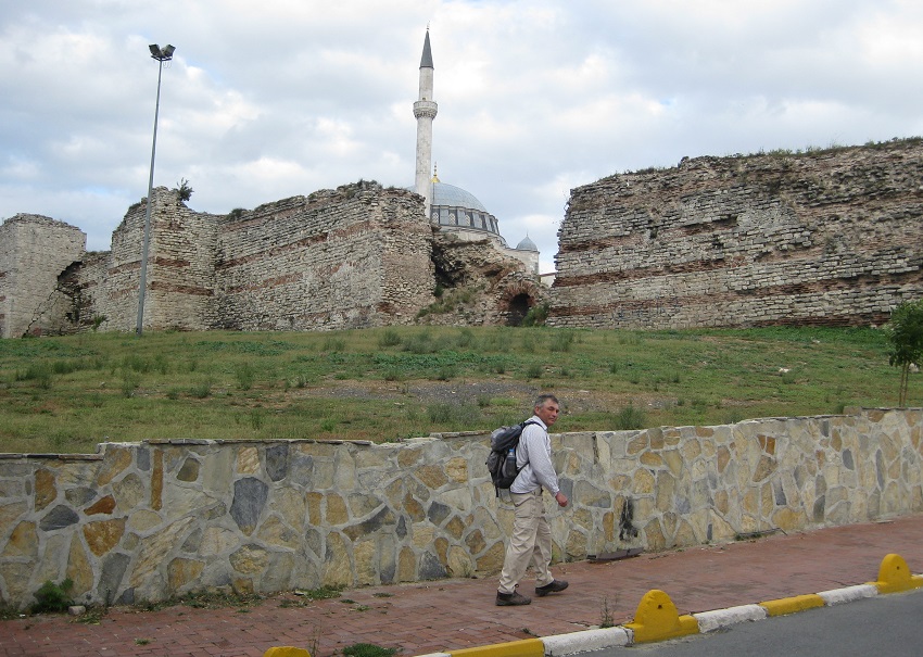
And these were the walls of Contantinople, walls that protected the city for a thousand years.
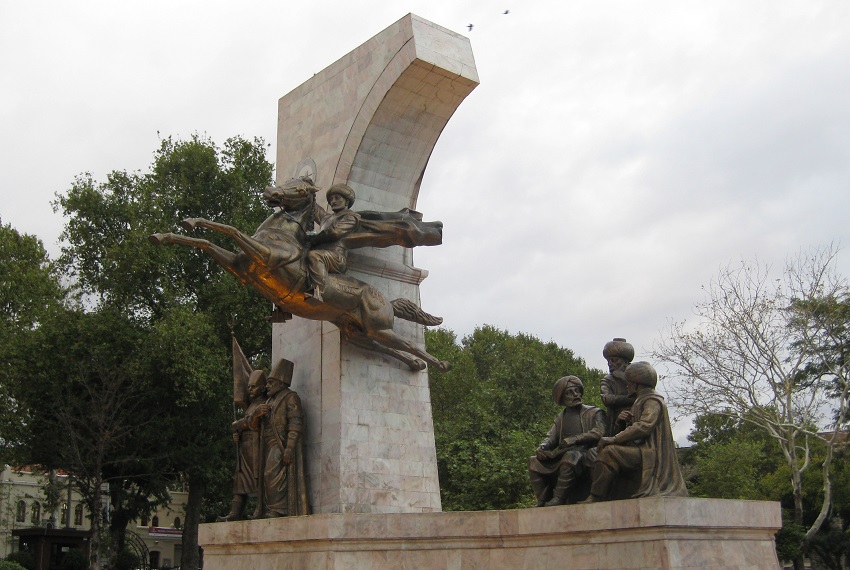
But in 1453 Sultan Mehmed II led an Ottoman Army through a breach in the walls and a new era began.
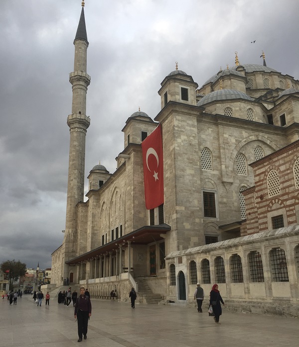
From that date mosques dominate and this is one of the largest, Fatih Camii, the Mosque of the Conqueror.
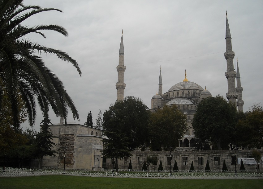
And this is the most famous, Ahmet Camii or The Blue Mosque.
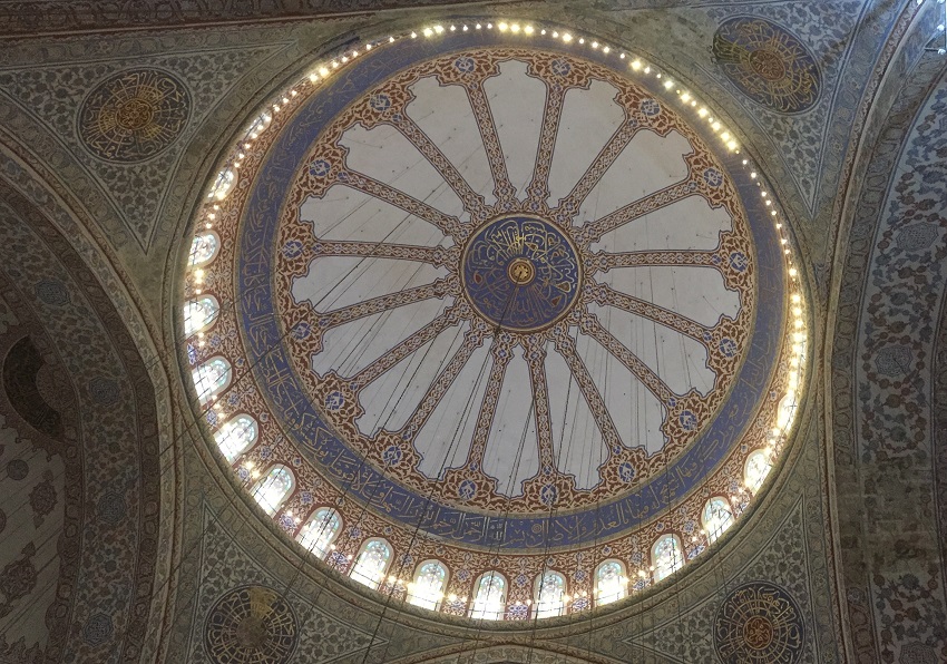
The Blue Mosque dates from 1616.
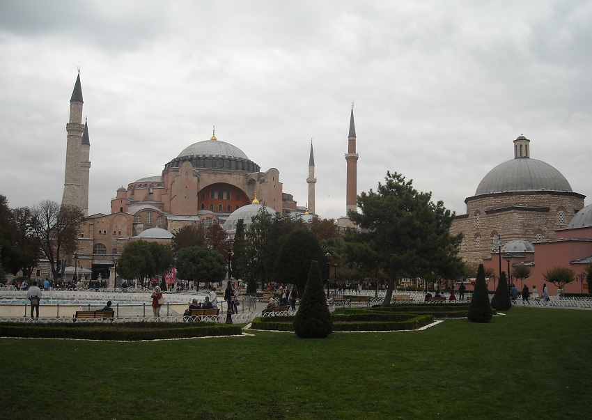
But it is this building, the Hagia Sophia, that is Istanbul's real prize.
This incredible Roman church dates from 415.
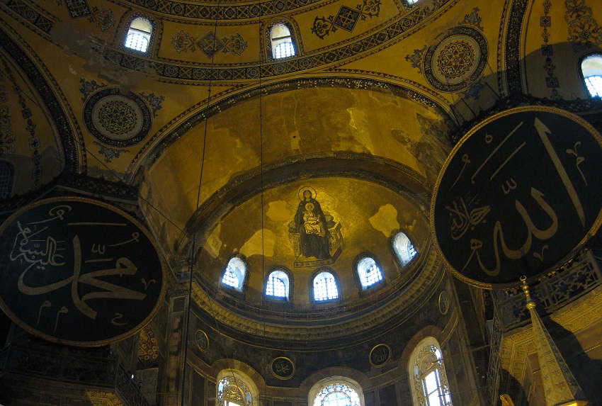
Given its age, the scale is stunning.
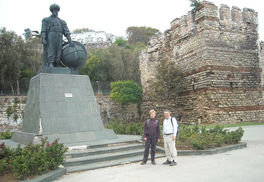
The waters edge is nearby, watched over by the Sultan's Palace.
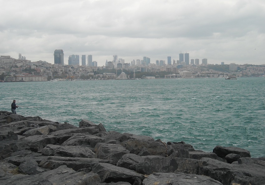
The Bosporus is the target of this journey and after 2650 miles and eleven years we have arrived.
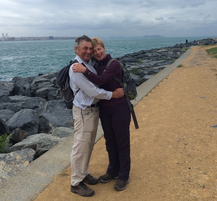
The Bosporus
29 September 2017
The End
Bosporus Walk Part 1, Malvern Hills to Switzerland
Bosporus Walk Part 2, Switzerland to Slovenia
Bosporus Walk Part 3, Slovenia to Serbia
Bosporus Walk Part 4, Serbia to Romania
The Ledbury Station Photo Gallery Home Page